


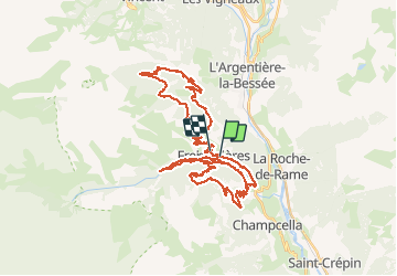

14,7 km | 26 km-effort


Usuario


Aplicación GPS de excursión GRATIS
 SityTrail
IGN / Institutos geográficos
SityTrail World
El mundo es suyo
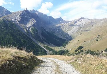
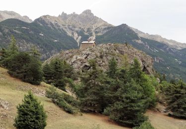
Ruta Bici de montaña de 55 km a descubrir en Provenza-Alpes-Costa Azul, Altos Alpes, Freissinières. Esta ruta ha sido propuesta por markford.
Good Route to start in the morning and with 3 Possisble Descents. with 2 single track the steepest being extreme.

Senderismo
Senderismo

Senderismo
Senderismo
Senderismo
Senderismo
Senderismo
Senderismo
Otra actividad