


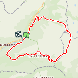

16,6 km | 33 km-effort


Usuario


Aplicación GPS de excursión GRATIS
 SityTrail
IGN / Institutos geográficos
SityTrail World
El mundo es suyo
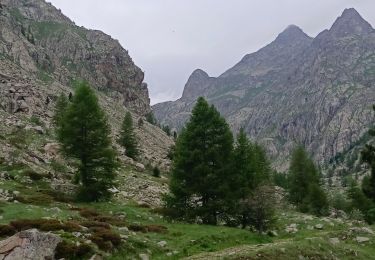
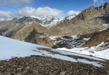
Ruta Senderismo de 22 km a descubrir en Provenza-Alpes-Costa Azul, Alpes Marítimos, Belvédère. Esta ruta ha sido propuesta por guazza83.
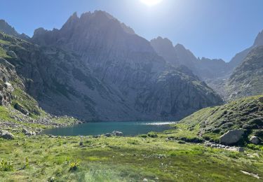
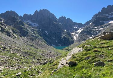
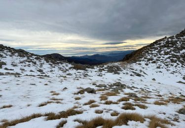
Départ borne 271 au dessus de la cascade du Ray en direction de Trémenil , grange du colonel col de Raus ,pas du diable , pas de Trem et vallon du des Verrairiers pour rejoindre la Gordolasque et retour cascade du Ray .

Senderismo

A pie

Senderismo

Senderismo
Senderismo
Senderismo
Senderismo
Senderismo
Senderismo