


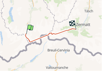

11,8 km | 22 km-effort


Usuario


Aplicación GPS de excursión GRATIS
 SityTrail
IGN / Institutos geográficos
SityTrail World
El mundo es suyo
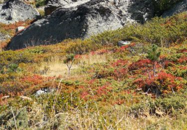
Ruta Otra actividad de 25 km a descubrir en Vallés, Hérens, Evolène. Esta ruta ha sido propuesta por jfcontour.
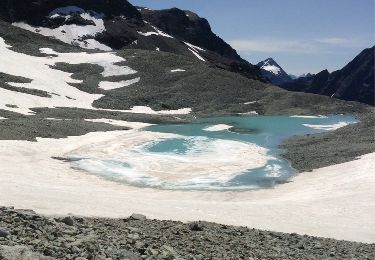
Ski de rando ! Incomplet !
2 Arrêts intempestifs du GPS en cours d'enregistrement !!

Senderismo
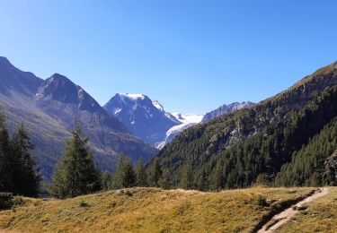
Senderismo
Senderismo

Deportes de invierno
Deportes de invierno
Otra actividad
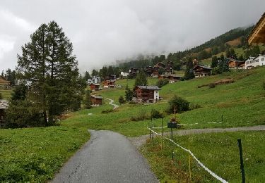
Senderismo
Senderismo
Marcha nórdica