


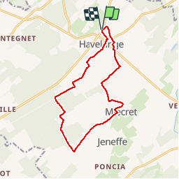

17,1 km | 21 km-effort


Usuario


Aplicación GPS de excursión GRATIS
 SityTrail
IGN / Institutos geográficos
SityTrail World
El mundo es suyo
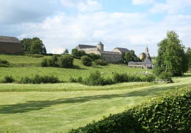
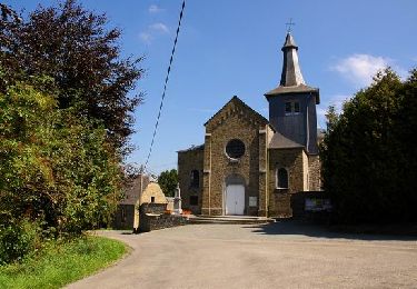
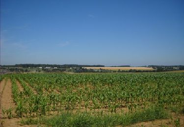
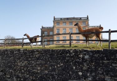
Ruta Senderismo de 12,6 km a descubrir en Valonia, Namur, Havelange. Esta ruta ha sido propuesta por Wernerch.
Une randonnée très facile de 12,6 km. Très peu de dénivelé.
Asphalte, chemins de campagne, ravel et un petit tour dans les bois.

Senderismo

Senderismo

Senderismo

Senderismo

Senderismo
Senderismo
Senderismo
Senderismo
Senderismo