


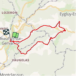

11 km | 18,1 km-effort


Usuario


Aplicación GPS de excursión GRATIS
 SityTrail
IGN / Institutos geográficos
SityTrail World
El mundo es suyo
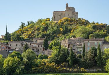
Ruta Senderismo de 16,3 km a descubrir en Auvergne-Rhône-Alpes, Drôme, Beaufort-sur-Gervanne. Esta ruta ha sido propuesta por floup6138.
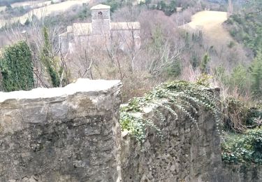
assez bien balisé mais 1km avant"les tourniers" ne pas suivre la trace et rester sur le chemin.
pour les cars se stationner au parking du champ de foire (arrivée du circuit).
Senderismo
Senderismo
Senderismo
Senderismo

Senderismo

Senderismo

Senderismo
Senderismo

Senderismo