


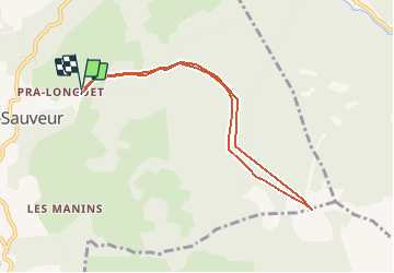

11,3 km | 17,6 km-effort


Usuario


Aplicación GPS de excursión GRATIS
 SityTrail
IGN / Institutos geográficos
SityTrail World
El mundo es suyo
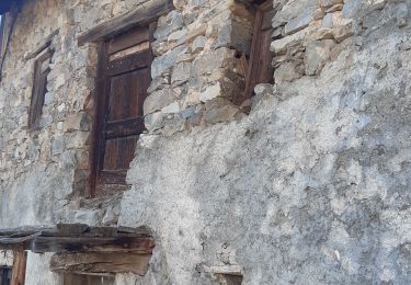
Ruta Otra actividad de 8,1 km a descubrir en Provenza-Alpes-Costa Azul, Altos Alpes, Saint-Sauveur. Esta ruta ha sido propuesta por baboudu04.
Pente <30°
A partir des Gaillards
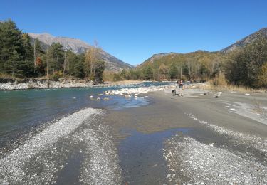
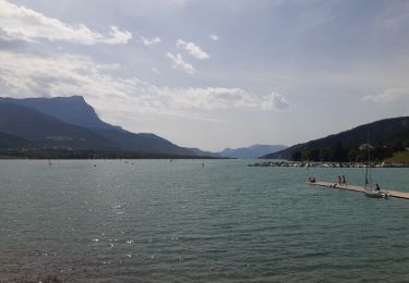
Vue sur le lac de serre ponson
Possibilité de partir des Vabres 1100m ou de praveyral 1400m

Senderismo

Senderismo

Senderismo

Senderismo

Senderismo
Senderismo
Senderismo
Senderismo
Senderismo