


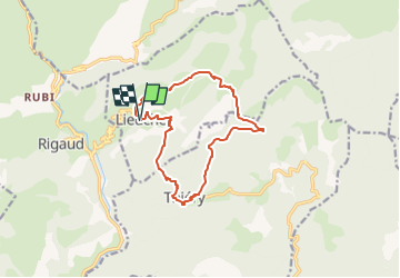

12,2 km | 20 km-effort


Usuario


Aplicación GPS de excursión GRATIS
 SityTrail
IGN / Institutos geográficos
SityTrail World
El mundo es suyo
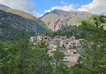
Ruta Senderismo de 13,2 km a descubrir en Provenza-Alpes-Costa Azul, Alpes Marítimos, Lieuche. Esta ruta ha sido propuesta por eaea7charles.
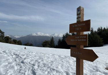
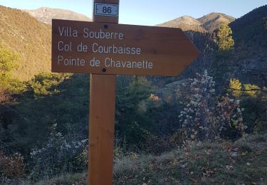
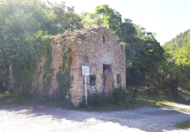
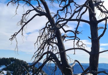
randonnée à la journée autour de la forêt domaniale de la madone, au départ de Bairols

A pie
Senderismo
Senderismo
Raquetas de nieve
Raquetas de nieve
Senderismo
Senderismo

Senderismo
Senderismo