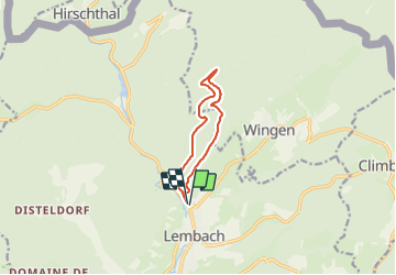

18,4 km | 26 km-effort


Usuario


Aplicación GPS de excursión GRATIS
 SityTrail
IGN / Institutos geográficos
SityTrail World
El mundo es suyo
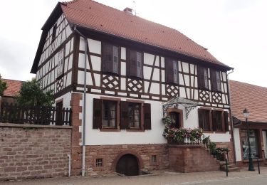
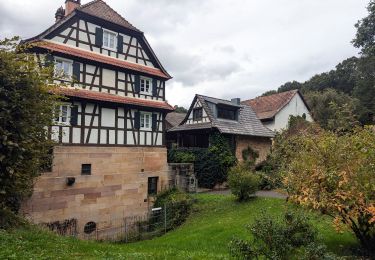
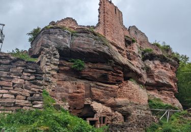
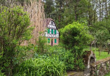
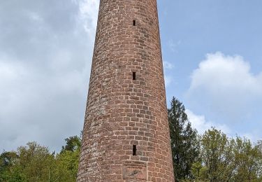
Ruta Senderismo de 8,2 km a descubrir en Gran Este, Bajo-Rin, Lembach. Esta ruta ha sido propuesta por baggera.
Rond bleu (signalisation Club Vosgien), puis chemin forestier, puis la croix rouge pour le retour sur Lembach (petit chemin sympa)
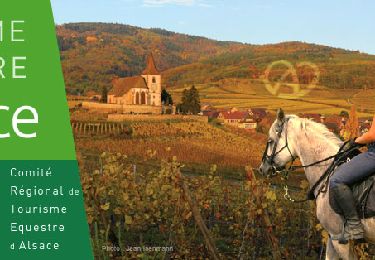
Paseo ecuestre

Senderismo

Bici de montaña
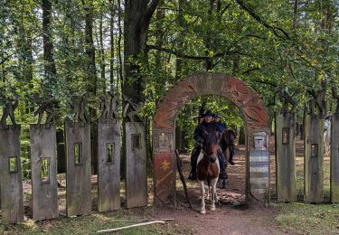
Paseo ecuestre
Paseo ecuestre
Paseo ecuestre
Paseo ecuestre
Paseo ecuestre