


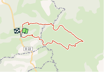

10,8 km | 18,5 km-effort


Usuario


Aplicación GPS de excursión GRATIS
 SityTrail
IGN / Institutos geográficos
SityTrail World
El mundo es suyo
Ruta Senderismo de 8,9 km a descubrir en Nueva Aquitania, Pirineos-Atlánticos, Jatxou. Esta ruta ha sido propuesta por DECHAMPD.
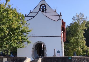
Landes entre Jatxou Hasparren
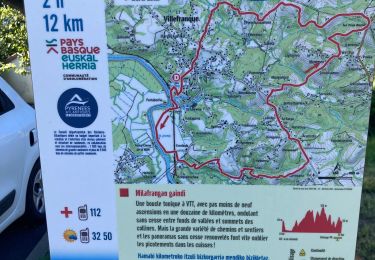
vous parcourrez les landes pastorales de Jatxou et d'Hasparren puis, vous découvrirez le vallon d'Angeluko.
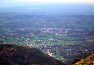
Des paysages de coteaux et de vallons typiques des piémonts pyrénéens.
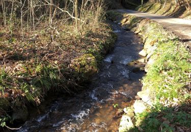
Attention certains passages cours d'eau peuvent être délicats par temps
Senderismo

Senderismo
Senderismo
Senderismo
Senderismo

Senderismo

Senderismo
Senderismo

Senderismo