


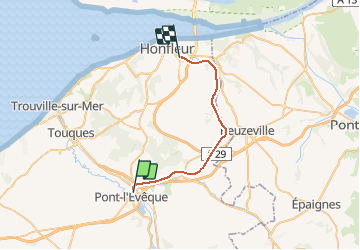

14,8 km | 18,9 km-effort


Usuario


Aplicación GPS de excursión GRATIS
 SityTrail
IGN / Institutos geográficos
SityTrail World
El mundo es suyo
Ruta Otra actividad de 23 km a descubrir en Normandía, Calvados, Pont-l'Évêque. Esta ruta ha sido propuesta por mich54.
La ligne de Pont-l'Évêque à Honfleur est une ligne de chemin de fer française à écartement standard et à voie unique non électrifiée. Elle relie Honfleur à Lisieux par Pont-l'Évêque. Seule une section de la ligne est ouverte pour le fret.Le 26 septembre 1971, la ligne est fermée au trafic voyageurs. Le 1er juin 1975, le trafic cesse officiellement sur la section entre Pont-l'Evêque et Quetteville qui est déclassée par un décret du 11 juillet 1994.(Source Wikipédia)

Senderismo

Senderismo
Senderismo
Senderismo
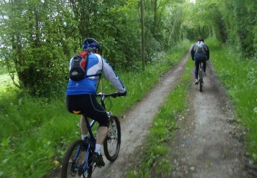
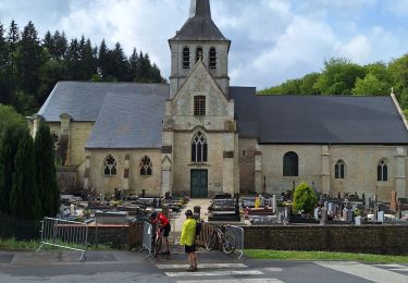
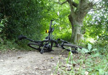
Bici de montaña

Senderismo
Senderismo

Bici de montaña
Bici de montaña