![](/images/other/stat-length.png)
Mon Compostelle huitième étape
Ardeiserois
Usuario
![Longitud](/images/other/stat-length.png)
Longitud
51 km
![Altitud máxima](https://static1.geolcdn.com/siteimages/upload/files/1508320355ic_sort_altitude_max_24dp.png)
Altitud máxima
318 m
![Desnivel positivo](https://static1.geolcdn.com/siteimages/upload/files/1508320355ic_sort_den_pos_24dp.png)
Desnivel positivo
1015 m
![Km-Effort](/images/other/stat-length.png)
Km-Effort
65 km
![Altitud mínima](https://static1.geolcdn.com/siteimages/upload/files/1508320355ic_sort_altitude_min_24dp.png)
Altitud mínima
101 m
![Desnivel negativo](https://static1.geolcdn.com/siteimages/upload/files/1508320355ic_sort_den_neg_24dp.png)
Desnivel negativo
1131 m
![Boucle](https://static1.geolcdn.com/siteimages/upload/files/16400158638029165_repeat_loop_refresh_sync_direction_icon.png)
Boucle
No
Fecha de creación :
2017-01-14 00:00:00.0
Última modificación :
2017-01-14 00:00:00.0
![Senderismo](https://static1.geolcdn.com/sitytour/trail-icons/101.png)
10h40
Dificultad : Difícil
![Escanee este código QR para abrir la excursión en la aplicación SityTrail](https://capi.geolives.com/qq0zvz2zws4bq2lad0pu/sitytour/trails/683825/qr.png?size=200)
Aplicación GPS de excursión GRATIS
A propósito
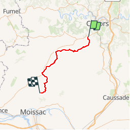
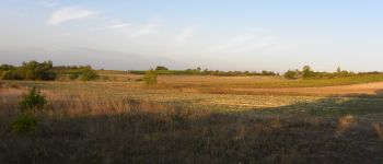
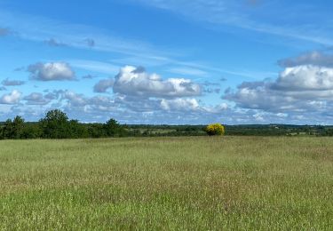
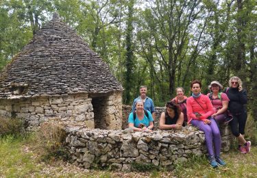
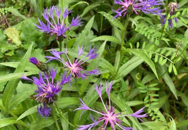
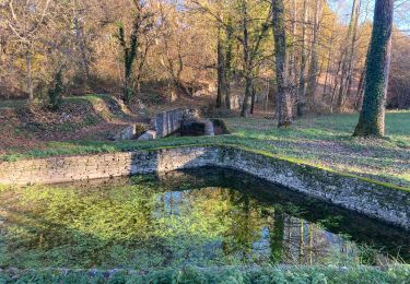
Ruta Senderismo de 51 km a descubrir en Occitania, Lot, Labastide-Marnhac. Esta ruta ha sido propuesta por Ardeiserois.
Descripción
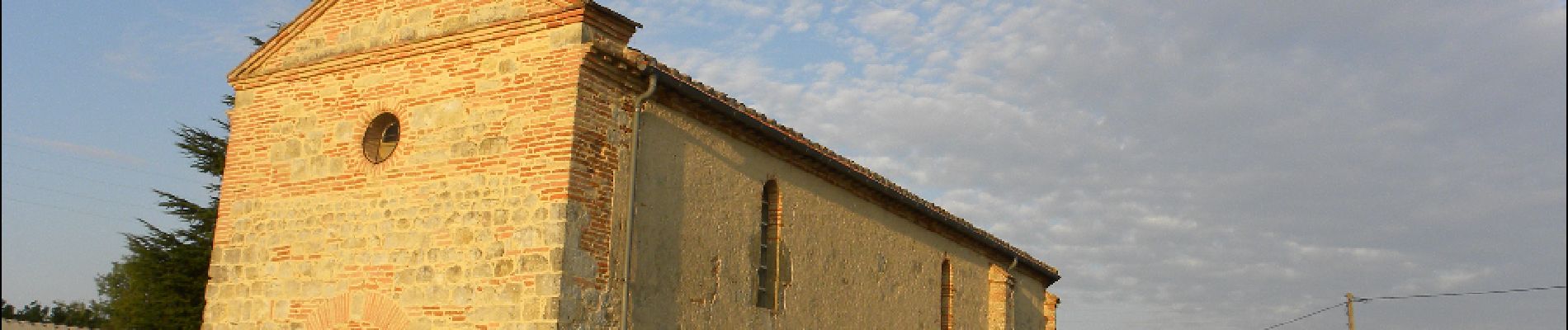
Huitième étape : La Bastide Marnhac (Saint Remy) / Saint Martin de Durfort mercredi 30 septembre 2009.
Départ :8h10
Arrivée :18h50
Localización
País:
France
Región :
Occitania
Departamento/provincia :
Lot
Municipio :
Labastide-Marnhac
Localidad:
Unknown
Salida:(Dec)
Salida:(UTM)
371595 ; 4917289 (31T) N.
Comentarios
Excursiones cerca
![Excursión Bici de montaña Cahors - Cahors-La Rozière 2005 - Photo](https://media.geolcdn.com/t/375/260/ext.jpg?maxdim=2&url=https%3A%2F%2Fservices.sitytrail.com%2FGeolivesWS%2FDownloadMedia.ashx%3FTrailID%3D100852%26Media%3D349_3.jpg)
![Bici de montaña Bici de montaña](https://static1.geolcdn.com/sitytour/trail-icons/202.png)
Cahors-La Rozière 2005
Bici de montaña
Muy difícil
(1)
Cahors,
Occitania,
Lot,
France
![](/images/other/stat-length.png)
62 km | 81 km-effort
5h 0min
![](https://static1.geolcdn.com/siteimages/upload/files/16400158638029165_repeat_loop_refresh_sync_direction_icon.png)
Sí
![Excursión Bici de montaña Trespoux-Rassiels - Circuit ouest de Trespoux Rassiels - Photo](https://media.geolcdn.com/t/375/260/ext.jpg?maxdim=2&url=https%3A%2F%2Fservices.sitytrail.com%2FGeolivesWS%2FDownloadMedia.ashx%3FTrailID%3D191586%26Media%3D15215_3.jpg)
![Bici de montaña Bici de montaña](https://static1.geolcdn.com/sitytour/trail-icons/202.png)
Circuit ouest de Trespoux Rassiels
Bici de montaña
Muy difícil
Trespoux-Rassiels,
Occitania,
Lot,
France
![](/images/other/stat-length.png)
38 km | 51 km-effort
4h 15min
![](https://static1.geolcdn.com/siteimages/upload/files/16400158638029165_repeat_loop_refresh_sync_direction_icon.png)
Sí
![Excursión Senderismo Cahors - Cahors - Lascabanes - Chemin de Compostelle - Photo](https://media.geolcdn.com/t/375/260/ext.jpg?maxdim=2&url=https%3A%2F%2Fservices.sitytrail.com%2FGeolivesWS%2FDownloadMedia.ashx%3FTrailID%3D109552%26Media%3D4156_5.jpg)
![Senderismo Senderismo](https://static1.geolcdn.com/sitytour/trail-icons/101.png)
Cahors - Lascabanes - Chemin de Compostelle
Senderismo
Muy difícil
(1)
Cahors,
Occitania,
Lot,
France
![](/images/other/stat-length.png)
24 km | 31 km-effort
9h 30min
![](https://static1.geolcdn.com/siteimages/upload/files/16400158638029165_repeat_loop_refresh_sync_direction_icon.png)
No
![Excursión Bici de montaña Cahors - Raid Cahors La Rozière 2006 - Photo](https://media.geolcdn.com/t/375/260/ext.jpg?maxdim=2&url=https%3A%2F%2Fservices.sitytrail.com%2FGeolivesWS%2FDownloadMedia.ashx%3FTrailID%3D100913%26Media%3D413_3.jpg)
![Bici de montaña Bici de montaña](https://static1.geolcdn.com/sitytour/trail-icons/202.png)
Raid Cahors La Rozière 2006
Bici de montaña
Muy difícil
Cahors,
Occitania,
Lot,
France
![](/images/other/stat-length.png)
59 km | 78 km-effort
4h 40min
![](https://static1.geolcdn.com/siteimages/upload/files/16400158638029165_repeat_loop_refresh_sync_direction_icon.png)
Sí
![Excursión Senderismo Le Montat - Montat - Photo](https://media.geolcdn.com/t/375/260/4cf55400-e01a-4ed2-b6a0-5f272b7be88a.jpg&format=jpg&maxdim=2)
![Senderismo Senderismo](https://static1.geolcdn.com/sitytour/trail-icons/101.png)
![Excursión Senderismo Lhospitalet - L’Hospitalet - Photo](https://media.geolcdn.com/t/375/260/f02ca25e-339e-4939-b982-8567cb06b034.jpg&format=jpg&maxdim=2)
![Senderismo Senderismo](https://static1.geolcdn.com/sitytour/trail-icons/101.png)
L’Hospitalet
Senderismo
Muy fácil
Lhospitalet,
Occitania,
Lot,
France
![](/images/other/stat-length.png)
9,6 km | 11,6 km-effort
2h 10min
![](https://static1.geolcdn.com/siteimages/upload/files/16400158638029165_repeat_loop_refresh_sync_direction_icon.png)
No
![Excursión Senderismo Trespoux-Rassiels - filles de manu - Photo](https://media.geolcdn.com/t/375/260/2fe8c76d-0220-4990-8586-002257a79257.jpg&format=jpg&maxdim=2)
![Senderismo Senderismo](https://static1.geolcdn.com/sitytour/trail-icons/101.png)
filles de manu
Senderismo
Medio
Trespoux-Rassiels,
Occitania,
Lot,
France
![](/images/other/stat-length.png)
9,7 km | 11,9 km-effort
3h 13min
![](https://static1.geolcdn.com/siteimages/upload/files/16400158638029165_repeat_loop_refresh_sync_direction_icon.png)
No
![Excursión Senderismo Labastide-Marnhac - Cluzel au temps des bleuets - Photo](https://media.geolcdn.com/t/375/260/2353fc49-2f4d-4fbf-aa57-2a71cc262c0c.jpg&format=jpg&maxdim=2)
![Senderismo Senderismo](https://static1.geolcdn.com/sitytour/trail-icons/101.png)
Cluzel au temps des bleuets
Senderismo
Muy fácil
Labastide-Marnhac,
Occitania,
Lot,
France
![](/images/other/stat-length.png)
10,2 km | 11,7 km-effort
2h 9min
![](https://static1.geolcdn.com/siteimages/upload/files/16400158638029165_repeat_loop_refresh_sync_direction_icon.png)
Sí
![Excursión Senderismo Labastide-Marnhac - Cluzel 3 - Photo](https://media.geolcdn.com/t/375/260/48f827b7-8fb8-4315-816a-5b3755a03ccd.jpg&format=jpg&maxdim=2)
![Senderismo Senderismo](https://static1.geolcdn.com/sitytour/trail-icons/101.png)
Cluzel 3
Senderismo
Medio
Labastide-Marnhac,
Occitania,
Lot,
France
![](/images/other/stat-length.png)
8,4 km | 10 km-effort
1h 40min
![](https://static1.geolcdn.com/siteimages/upload/files/16400158638029165_repeat_loop_refresh_sync_direction_icon.png)
Sí