


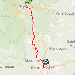

13,9 km | 19,6 km-effort


Usuario


Aplicación GPS de excursión GRATIS
 SityTrail
IGN / Institutos geográficos
SityTrail World
El mundo es suyo
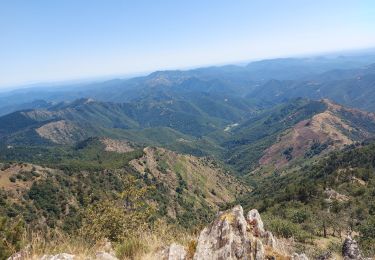
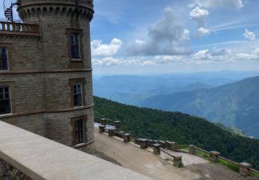
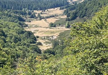
Ruta Senderismo de 18,2 km a descubrir en Occitania, Gard, Dourbies. Esta ruta ha sido propuesta por richard21220.
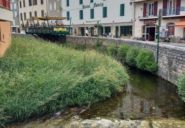
Hôtels à 30120 LE VIGAN Tél OT 04 67 81 01 72
Gîtes et tables d'Hôtes à 30120 LE VIGAN Tél OT 04 67 81 01 72
Senderismo

Senderismo
Senderismo
Senderismo
Senderismo
Senderismo
Senderismo
Senderismo
Senderismo