


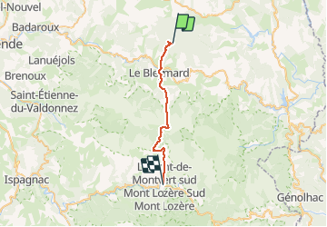

22 km | 32 km-effort


Usuario


Aplicación GPS de excursión GRATIS
 SityTrail
IGN / Institutos geográficos
SityTrail World
El mundo es suyo
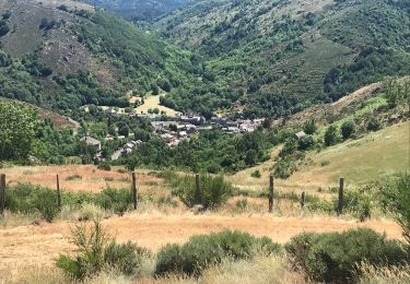
Ruta Senderismo de 23 km a descubrir en Occitania, Lozère, Mont Lozère et Goulet. Esta ruta ha sido propuesta por richard21220.
Chambres d'Hôtes Maison Victoire : Finiels 48220 PONT DE MONTVERT Tél 04 66 45 84 36
Gite du Chastel

Senderismo

Senderismo
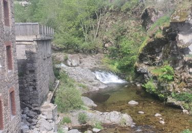
Senderismo

Senderismo

Senderismo
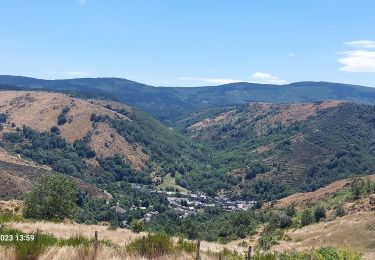
Senderismo
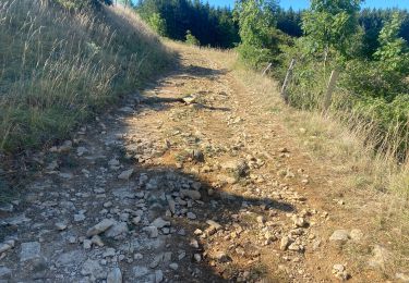
Bici de montaña
Senderismo
Senderismo