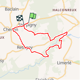


22 km | 26 km-effort

Usuario


Aplicación GPS de excursión GRATIS
 SityTrail
IGN / Institutos geográficos
SityTrail World
El mundo es suyo
Ruta Senderismo de 13,8 km a descubrir en Valonia, Luxemburgo, Gouvy. Esta ruta ha sido propuesta por corry.vandenbroeke.
Vertrek vanuit B&B L'émiline - Sterpigny 14 - 6673 Cherain. (Kleine nette kamers - fantastische keuken!)
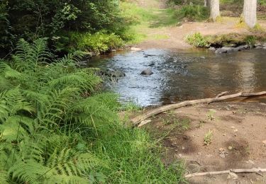
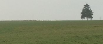
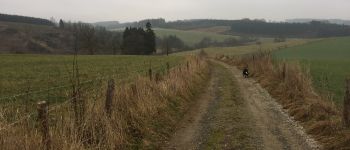
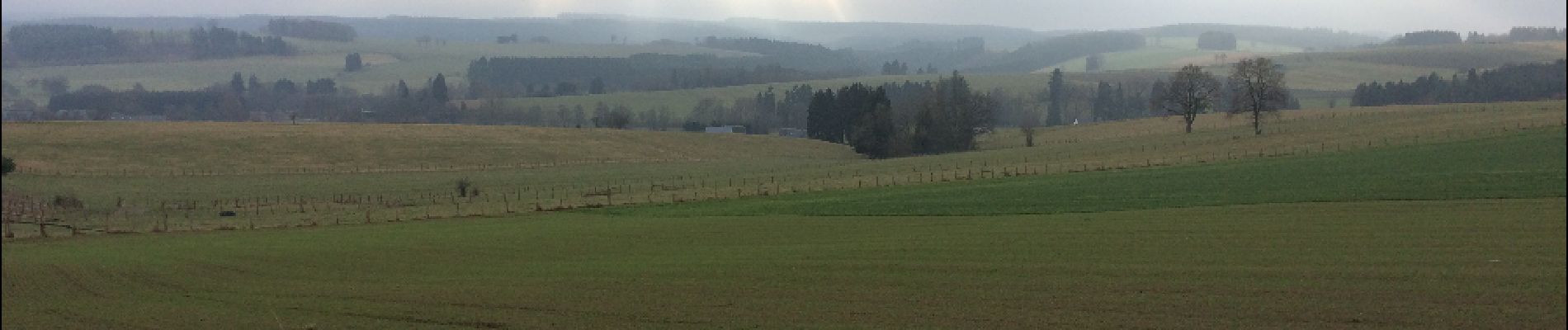
Prachtige rustige wandeling tussen bossen en velden. 1/4 deel langs openbare weg! Wegwijzer: Blauw kruis.
Nog meer wandelingen te verkrijgen bij toeristisch info-center naast spoorweggebouw Gouvy. Deze kan handig zijn wanneer een bepaald gebied is afgesloten voor de jacht. Zo kan je aansluiting vinden op een andere wandelroute.
Uitgestippeld door www.StepAway.be
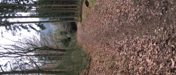
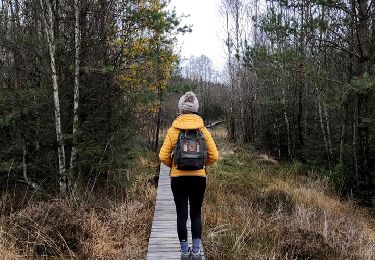
 StepAway.be - Photo 1")
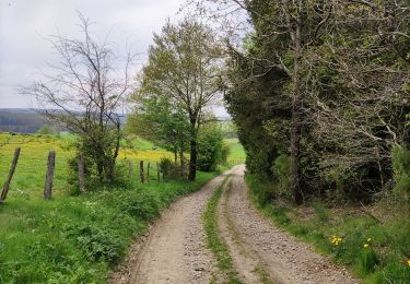
 StepAway.be - Photo 2")
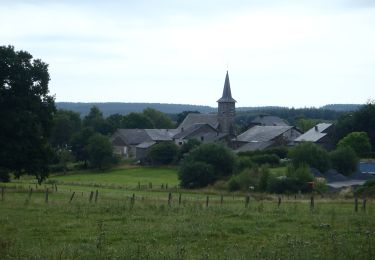
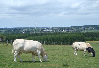
 StepAway.be - Photo 3")
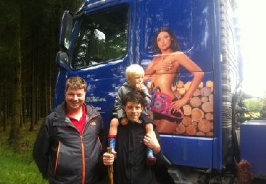
 StepAway.be - Photo 4")
 StepAway.be - Photo 5")
 StepAway.be - Photo 6")
 StepAway.be - Photo 7")
 StepAway.be - Photo 8")
Senderismo
Senderismo
Senderismo
Senderismo
Senderismo

Senderismo

Senderismo

Senderismo