


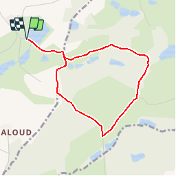

15 km | 19,6 km-effort


Usuario


Aplicación GPS de excursión GRATIS
 SityTrail
IGN / Institutos geográficos
SityTrail World
El mundo es suyo
Ruta Senderismo de 3,8 km a descubrir en Auvergne-Rhône-Alpes, Isère, Saint-Jean-de-Bournay. Esta ruta ha sido propuesta por yvos38.
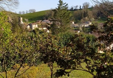
Petite promenade sympathique avec passage devant la chapelle St Hugon reconstruite dans les années soixante (chacun appréciera son architecture), puis passage devant le chêne St Hugon muticentenaire.
Senderismo

Senderismo

Bici de montaña
Senderismo
Senderismo
Senderismo
Senderismo


sport
sport