


17,4 km | 23 km-effort


Usuario


Aplicación GPS de excursión GRATIS
 SityTrail
IGN / Institutos geográficos
SityTrail World
El mundo es suyo
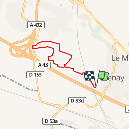
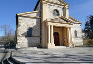
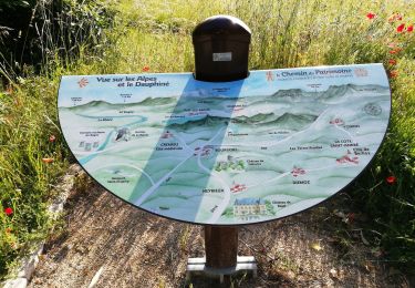
Ruta Senderismo de 5,8 km a descubrir en Auvergne-Rhône-Alpes, Isère, Grenay. Esta ruta ha sido propuesta por jtraverse.
GPS Pk
45°39'41.4"N 5°04'27.6"E
45.661492, 5.074338
Pk 220 lotissement Les Avocats
38540 GRENAY
Rejoindre la rte d'Heyrieux, la suivre jusqu'à St Pierre de Chandieu. Tourner à gauche Chemin de Satolas (en direction du lotissement Les Avocats), puis 2e à droite (D53A) continuer sur cette route jusqu'à la 1e rue à gauche après le pont au-dessus de l'A43.Tourner à gauche et suivre jusqu'au parking à côté de l'entreprise
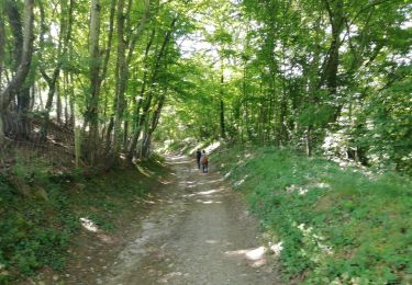
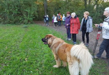
Senderismo
Senderismo
Senderismo
Senderismo
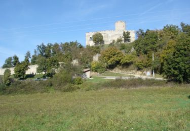
Bici de montaña

Senderismo
Senderismo
Senderismo
Senderismo