


14,6 km | 18,6 km-effort


Usuario


Aplicación GPS de excursión GRATIS
 SityTrail
IGN / Institutos geográficos
SityTrail World
El mundo es suyo
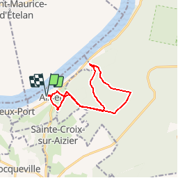
Ruta Senderismo de 10,8 km a descubrir en Normandía, Eure, Aizier. Esta ruta ha sido propuesta por randovivi.
Départ Parking du cimetière d'Aizier descendre la rue jusqu'au bas du cul de sac (un peu plus bas que l'église) pour garer les voitures.
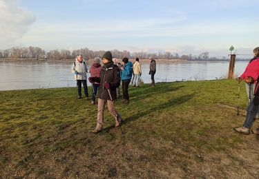
Prendre les Bâtons.
Deux belles Côtes. Attention terrain glissant quand il pleut

Senderismo

Senderismo
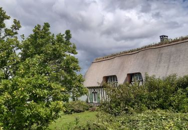
Senderismo
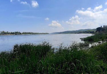
Senderismo
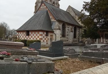
Senderismo
Senderismo
Senderismo
Senderismo
Senderismo