


3,5 km | 4,7 km-effort


Usuario


Aplicación GPS de excursión GRATIS
 SityTrail
IGN / Institutos geográficos
SityTrail World
El mundo es suyo
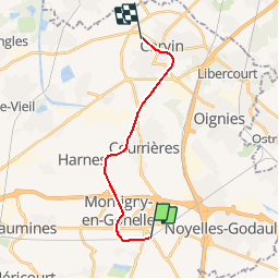
Ruta Otra actividad de 12,7 km a descubrir en Alta Francia, Paso de Calais, Hénin-Beaumont. Esta ruta ha sido propuesta por mich54.
Section de Hénin-Beaumont à Carvin, le reste du parcours n'est pas visible.
La ligne d'Hénin-Beaumont à Bauvin - Provin était une ligne de chemin de fer d'une longueur de 15,1 kilomètres reliant la gare d'Hénin-Beaumont à celle de Bauvin - Provin, dans les départements français du Nord et du Pas-de-Calais.
Ouverte en 1879 par la Compagnie du chemin de fer de Lille à Valenciennes et ses Extensions, la ligne ferme aux voyageurs en 1938, puis progressivement au trafic des marchandises après la Seconde Guerre mondiale.(Source Wikipédia)
Senderismo
Carrera
Senderismo
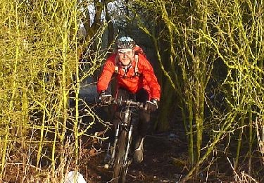
Bici de montaña
Senderismo
Senderismo
Senderismo

Senderismo

Senderismo