


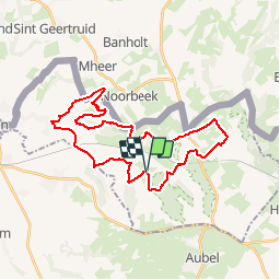


9,5 km | 12,1 km-effort


Usuario


Aplicación GPS de excursión GRATIS
 SityTrail
IGN / Institutos geográficos
SityTrail World
El mundo es suyo
Ruta Bici de montaña de 30 km a descubrir en Flandes, Limburgo, Voeren. Esta ruta ha sido propuesta por Vincent1960.
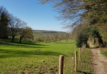
Balade VTT autours des Fourons dans des décors superbes et vallonnés. Quelques côtes raides et caillouteuses vous obligeront à mettre pied à terre mais la récompense suivra.

Senderismo

Senderismo

Senderismo

Senderismo

Senderismo

Senderismo

Senderismo

Senderismo
Senderismo