


20 km | 28 km-effort


Usuario


Aplicación GPS de excursión GRATIS
 SityTrail
IGN / Institutos geográficos
SityTrail World
El mundo es suyo
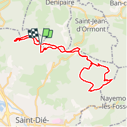
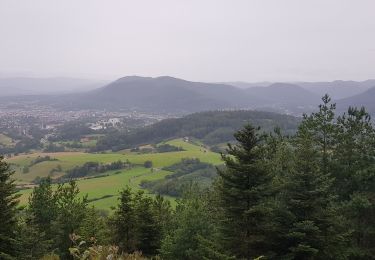
Ruta Senderismo de 21 km a descubrir en Gran Este, Vosgos, Saint-Dié-des-Vosges. Esta ruta ha sido propuesta por jeanclaude12.
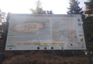
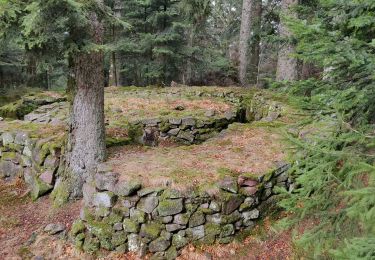
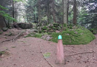
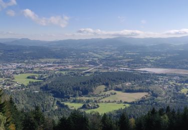
Très belle randonnée à la journée mêlant de superbes rochers de grès vosgien avec leurs panoramas et l'étonnant site protohistorique du Camp de la Bure.

Bici de montaña

Senderismo
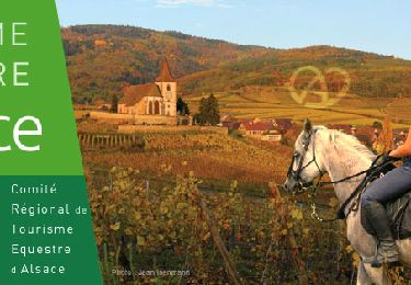
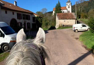
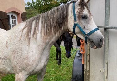
Paseo ecuestre
Senderismo
Paseo ecuestre
Paseo ecuestre
Senderismo
Senderismo
Senderismo