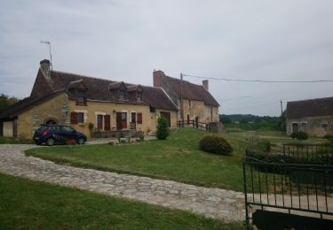
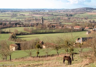
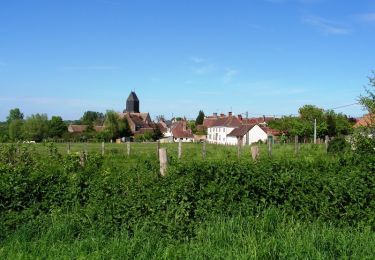
7,4 km | 9,6 km-effort
Mâle 14
togolo28
Usuario
Longitud
14,4 km
Altitud máxima
199 m
Desnivel positivo
260 m
Km-Effort
17,9 km
Altitud mínima
91 m
Desnivel negativo
260 m
Boucle
Sí
Fecha de creación :
2016-10-04 00:00:00.0
Última modificación :
2016-10-04 00:00:00.0
3h52
Dificultad : Fácil
Aplicación GPS de excursión GRATIS
A propósito
Ruta Senderismo de 14,4 km a descubrir en Normandía, Orne, Val-au-Perche. Esta ruta ha sido propuesta por togolo28.
Localización
País:
France
Región :
Normandía
Departamento/provincia :
Orne
Municipio :
Val-au-Perche
Localidad:
Unknown
Salida:(Dec)
Salida:(UTM)
332332 ; 5348908 (31U) N.
Comentarios
Excursiones cerca
Le Theil-sur-Huisne (Val-au-Perche)-Saint-Germain-de-la-Coudre - 7,4 Km
Senderismo
Medio
Val-au-Perche,
Normandía,
Orne,
France
2h 3min
No
avezé Sarthe
Senderismo
Fácil
Avezé,
Países del Loira,
Sarthe,
France
13,4 km | 15,9 km-effort
4h 17min
Sí
Le Theil-sur-Huisne (Val-au-Perche) - Saint-Cyr-la-Rosière 11 km
Senderismo
Fácil
Val-au-Perche,
Normandía,
Orne,
France
11,2 km | 13,6 km-effort
2h 52min
No
Avezé - Au coeur du bocage percheron
Senderismo
Medio
Avezé,
Países del Loira,
Sarthe,
France
14,6 km | 17,7 km-effort
3h 30min
Sí
Les bois de Beauvais
Senderismo
Fácil
Avezé,
Países del Loira,
Sarthe,
France
11,2 km | 14,6 km-effort
3h 19min
Sí
SityTrail - Saint-Hilaire sur Erre 8,4 km
Senderismo
Medio
Saint-Hilaire-sur-Erre,
Normandía,
Orne,
France
8,1 km | 9,5 km-effort
2h 9min
Sí
Mâle Vallée de la Jambette 8.4 Km
Senderismo
Fácil
Val-au-Perche,
Normandía,
Orne,
France
8,4 km | 10,8 km-effort
2h 48min
Sí
TCP Etape Tour complet
Senderismo
Fácil
Val-au-Perche,
Normandía,
Orne,
France
2657 km | 2707 km-effort
7h 16min
No
Le Theils sur Huisnes 13.4 Km
Senderismo
Medio
Val-au-Perche,
Normandía,
Orne,
France
13,4 km | 16,2 km-effort
3h 32min
Sí