![](/images/other/stat-length.png)
![Excursión Senderismo Melle - Melle-Laarne-Heusden-Melle - Photo](https://media.geolcdn.com/t/1900/400/ext.pjpeg?maxdim=2&url=https%3A%2F%2Fservices.sitytrail.com%2FGeolivesWS%2FDownloadMedia.ashx%3FTrailID%3D639395%26Media%3D20161001181922.jpg)
Melle-Laarne-Heusden-Melle
mavbelgium
Usuario
![Longitud](/images/other/stat-length.png)
Longitud
19,7 km
![Altitud máxima](https://static1.geolcdn.com/siteimages/upload/files/1508320355ic_sort_altitude_max_24dp.png)
Altitud máxima
21 m
![Desnivel positivo](https://static1.geolcdn.com/siteimages/upload/files/1508320355ic_sort_den_pos_24dp.png)
Desnivel positivo
113 m
![Km-Effort](/images/other/stat-length.png)
Km-Effort
21 km
![Altitud mínima](https://static1.geolcdn.com/siteimages/upload/files/1508320355ic_sort_altitude_min_24dp.png)
Altitud mínima
-3 m
![Desnivel negativo](https://static1.geolcdn.com/siteimages/upload/files/1508320355ic_sort_den_neg_24dp.png)
Desnivel negativo
112 m
![Boucle](https://static1.geolcdn.com/siteimages/upload/files/16400158638029165_repeat_loop_refresh_sync_direction_icon.png)
Boucle
Sí
Fecha de creación :
2016-10-06 00:00:00.0
Última modificación :
2020-01-13 13:48:19.466
![Senderismo](https://static1.geolcdn.com/sitytour/trail-icons/101.png)
3h30
Dificultad : Medio
![Escanee este código QR para abrir la excursión en la aplicación SityTrail](https://capi.geolives.com/qq0zvz2zws4bq2lad0pu/sitytour/trails/639395/qr.png?size=200)
Aplicación GPS de excursión GRATIS
A propósito
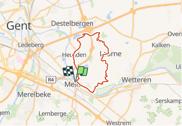
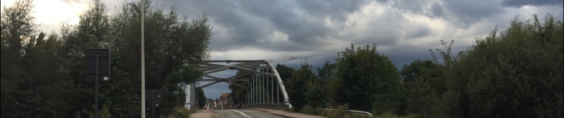
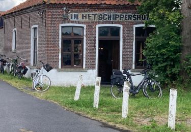
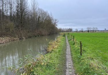
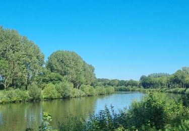
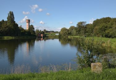
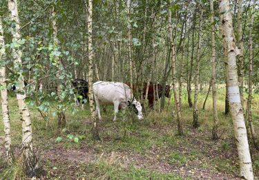
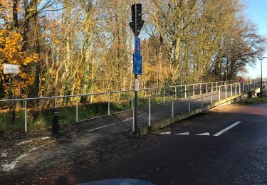
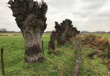
Ruta Senderismo de 19,7 km a descubrir en Flandes, Provincia de Flandes Oriental, Melle. Esta ruta ha sido propuesta por mavbelgium.
Descripción
20 km langs mooie wegen/paden in Melle (Bommels/Ten Hede), via Laarne naar Damslootmeer, Centrum Heusden terug naar Melle
Localización
País:
Belgium
Región :
Flandes
Departamento/provincia :
Provincia de Flandes Oriental
Municipio :
Melle
Localidad:
Melle
Salida:(Dec)
Salida:(UTM)
556316 ; 5650679 (31U) N.
Comentarios
Excursiones cerca
![Excursión Bici eléctrica Gante - Kastelentocht Sterretrappers 2 versie 3/7/2022 - Photo](https://media.geolcdn.com/t/375/260/2c827f43-8f51-42e6-8438-08eb0c46cfeb.jpg&format=jpg&maxdim=2)
![Bici eléctrica Bici eléctrica](https://static1.geolcdn.com/sitytour/trail-icons/205.png)
Kastelentocht Sterretrappers 2 versie 3/7/2022
Bici eléctrica
Medio
(1)
Gante,
Flandes,
Provincia de Flandes Oriental,
Belgium
![](/images/other/stat-length.png)
58 km | 62 km-effort
5h 52min
![](https://static1.geolcdn.com/siteimages/upload/files/16400158638029165_repeat_loop_refresh_sync_direction_icon.png)
Sí
![Excursión Senderismo Oosterzele - Oosterzele Bunker - 12 km RT - Photo](https://media.geolcdn.com/t/375/260/ext.jpg?maxdim=2&url=https%3A%2F%2Fstatic1.geolcdn.com%2Fsiteimages%2Fupload%2Ffiles%2F1553511878bg_sport_marche.png)
![Senderismo Senderismo](https://static1.geolcdn.com/sitytour/trail-icons/101.png)
Oosterzele Bunker - 12 km RT
Senderismo
Muy fácil
(2)
Oosterzele,
Flandes,
Provincia de Flandes Oriental,
Belgium
![](/images/other/stat-length.png)
12,1 km | 13,4 km-effort
Desconocido
![](https://static1.geolcdn.com/siteimages/upload/files/16400158638029165_repeat_loop_refresh_sync_direction_icon.png)
Sí
![Excursión Senderismo Melle - Gontrode Munkzwalm 25 km - Photo](https://media.geolcdn.com/t/375/260/467e94e0-3b43-4cca-be16-d6b647696c57.jpg&format=jpg&maxdim=2)
![Senderismo Senderismo](https://static1.geolcdn.com/sitytour/trail-icons/101.png)
Gontrode Munkzwalm 25 km
Senderismo
Medio
Melle,
Flandes,
Provincia de Flandes Oriental,
Belgium
![](/images/other/stat-length.png)
25 km | 28 km-effort
7h 21min
![](https://static1.geolcdn.com/siteimages/upload/files/16400158638029165_repeat_loop_refresh_sync_direction_icon.png)
No
![Excursión Bici eléctrica Gante - Vlaamse Ardennen - Photo](https://media.geolcdn.com/t/375/260/063caacd-efaf-402c-867e-f82400864df3.jpg&format=jpg&maxdim=2)
![Bici eléctrica Bici eléctrica](https://static1.geolcdn.com/sitytour/trail-icons/205.png)
Vlaamse Ardennen
Bici eléctrica
Difícil
Gante,
Flandes,
Provincia de Flandes Oriental,
Belgium
![](/images/other/stat-length.png)
92 km | 102 km-effort
5h 42min
![](https://static1.geolcdn.com/siteimages/upload/files/16400158638029165_repeat_loop_refresh_sync_direction_icon.png)
Sí
![Excursión A pie Oosterzele - Bunker Wandelroute - Photo](https://media.geolcdn.com/t/375/260/20362a87-e824-484a-9550-646c498147b7.jpeg&format=jpg&maxdim=2)
![A pie A pie](https://static1.geolcdn.com/sitytour/trail-icons/100.png)
Bunker Wandelroute
A pie
Fácil
Oosterzele,
Flandes,
Provincia de Flandes Oriental,
Belgium
![](/images/other/stat-length.png)
12,2 km | 13,5 km-effort
3h 3min
![](https://static1.geolcdn.com/siteimages/upload/files/16400158638029165_repeat_loop_refresh_sync_direction_icon.png)
Sí
![Excursión A pie Melle - Gondepad - Photo](https://media.geolcdn.com/t/375/260/ef009975-a7e3-4038-8920-11131e00a757.jpeg&format=jpg&maxdim=2)
![A pie A pie](https://static1.geolcdn.com/sitytour/trail-icons/100.png)
Gondepad
A pie
Fácil
Melle,
Flandes,
Provincia de Flandes Oriental,
Belgium
![](/images/other/stat-length.png)
3,3 km | 3,5 km-effort
48min
![](https://static1.geolcdn.com/siteimages/upload/files/16400158638029165_repeat_loop_refresh_sync_direction_icon.png)
No
![Excursión Senderismo Gante - Gent gentbrugge 17,1 km - Photo](https://media.geolcdn.com/t/375/260/6cfc1f4d-41af-4b3d-9ed6-198688e4eb23.jpg&format=jpg&maxdim=2)
![Senderismo Senderismo](https://static1.geolcdn.com/sitytour/trail-icons/101.png)
Gent gentbrugge 17,1 km
Senderismo
Fácil
Gante,
Flandes,
Provincia de Flandes Oriental,
Belgium
![](/images/other/stat-length.png)
17,1 km | 18,5 km-effort
5h 21min
![](https://static1.geolcdn.com/siteimages/upload/files/16400158638029165_repeat_loop_refresh_sync_direction_icon.png)
Sí
![Excursión Bicicleta híbrida Gante - Naar Godefroot... - Photo](https://media.geolcdn.com/t/375/260/39ae019d-c97a-4eac-95c9-89088942f563.jpg&format=jpg&maxdim=2)
![Bicicleta híbrida Bicicleta híbrida](https://static1.geolcdn.com/sitytour/trail-icons/203.png)
Naar Godefroot...
Bicicleta híbrida
Gante,
Flandes,
Provincia de Flandes Oriental,
Belgium
![](/images/other/stat-length.png)
47 km | 51 km-effort
2h 48min
![](https://static1.geolcdn.com/siteimages/upload/files/16400158638029165_repeat_loop_refresh_sync_direction_icon.png)
Sí
![Excursión Senderismo Gante - Langs Schelde en E17 - Photo](https://media.geolcdn.com/t/375/260/8be4dc8f-6f29-46ec-b107-156fe1b53b4f.jpg&format=jpg&maxdim=2)
![Senderismo Senderismo](https://static1.geolcdn.com/sitytour/trail-icons/101.png)
Langs Schelde en E17
Senderismo
Muy fácil
(1)
Gante,
Flandes,
Provincia de Flandes Oriental,
Belgium
![](/images/other/stat-length.png)
7,9 km | 8,5 km-effort
1h 58min
![](https://static1.geolcdn.com/siteimages/upload/files/16400158638029165_repeat_loop_refresh_sync_direction_icon.png)
Sí