


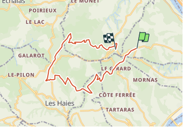

5,6 km | 8,2 km-effort


Usuario


Aplicación GPS de excursión GRATIS
 SityTrail
IGN / Institutos geográficos
SityTrail World
El mundo es suyo
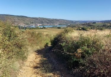
Ruta Otra actividad de 16 km a descubrir en Auvergne-Rhône-Alpes, Ródano, Saint-Romain-en-Gal. Esta ruta ha sido propuesta por servemichel.
la presque boucle du grisard pour la rentrée 2016.
Pour les Marcheurs de de pas en pas après leur Marche vers la Sainte Baume.

Senderismo

Senderismo
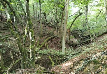
Senderismo

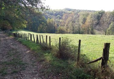
Senderismo
Senderismo

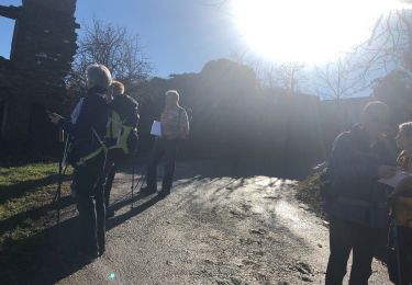
Bici de montaña
Senderismo
Senderismo
Senderismo