


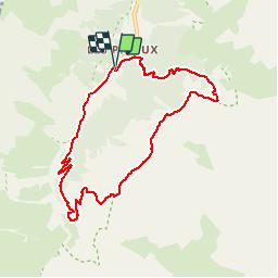

11 km | 19,3 km-effort


Usuario


Aplicación GPS de excursión GRATIS
 SityTrail
IGN / Institutos geográficos
SityTrail World
El mundo es suyo
Ruta Senderismo de 8,4 km a descubrir en Auvergne-Rhône-Alpes, Saboya, Pralognan-la-Vanoise. Esta ruta ha sido propuesta por direction-ot.
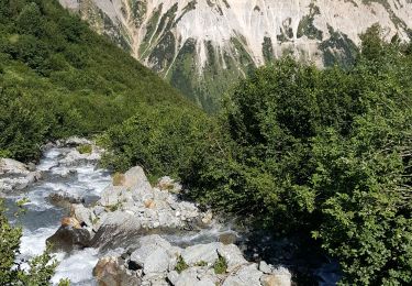
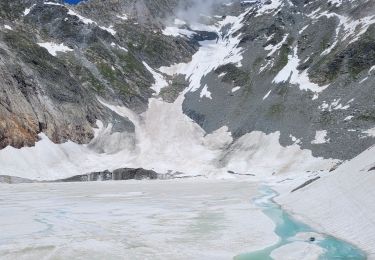
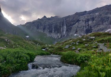
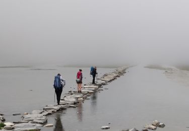
Une variante est possible via le Chalet des Nants, avec de nombreux ruisseaux à traverser. Leur débit peut être important en période de fonte des neiges ou à la suite d'un orage.
Senderismo
Senderismo

Senderismo
Senderismo
Senderismo

Senderismo
Senderismo
Senderismo
Senderismo