


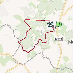

4,3 km | 4,7 km-effort


Usuario


Aplicación GPS de excursión GRATIS
 SityTrail
IGN / Institutos geográficos
SityTrail World
El mundo es suyo
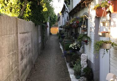
Ruta Senderismo de 5,6 km a descubrir en Flandes, Provincia de Flandes Oriental, Merelbeke. Esta ruta ha sido propuesta por corry.vandenbroeke.
Start bosstraat 3 aan 'de zoete zonde'. Nog uit te testen! Bepaalde stukken zijn enorm drassig zelfs in de zomer!
A pie
A pie
A pie
A pie
Senderismo
Senderismo
Senderismo
Senderismo
Senderismo