


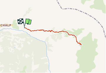

7,2 km | 11 km-effort

Usuario


Aplicación GPS de excursión GRATIS
 SityTrail
IGN / Institutos geográficos
SityTrail World
El mundo es suyo
Ruta Marcha nórdica de 7,8 km a descubrir en Provenza-Alpes-Costa Azul, Altos Alpes, Crévoux. Esta ruta ha sido propuesta por Gegetop.
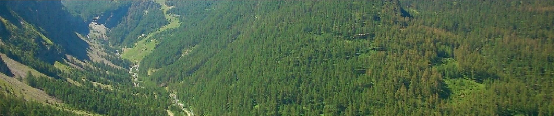
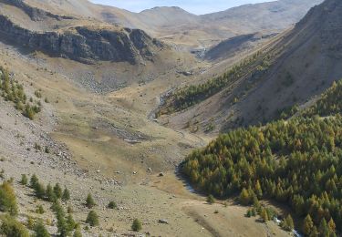
Jolie montée assez caillouteuse qui débouche sur le vallon accueillant de verdure et de fleurs, puis enfin le petit lac aux eaux vertes.


Senderismo

Otra actividad

Senderismo

Senderismo

Senderismo

Senderismo

Senderismo
Raquetas de nieve
Senderismo