


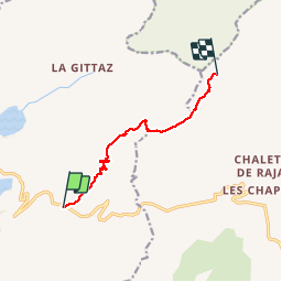


16,7 km | 28 km-effort

Usuario GUIDE


Aplicación GPS de excursión GRATIS
 SityTrail
IGN / Institutos geográficos
SityTrail World
El mundo es suyo
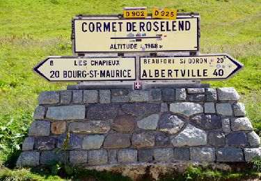
Ruta Senderismo de 8 km a descubrir en Auvergne-Rhône-Alpes, Saboya, Beaufort. Esta ruta ha sido propuesta por Desrumaux.
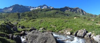
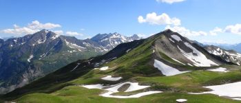
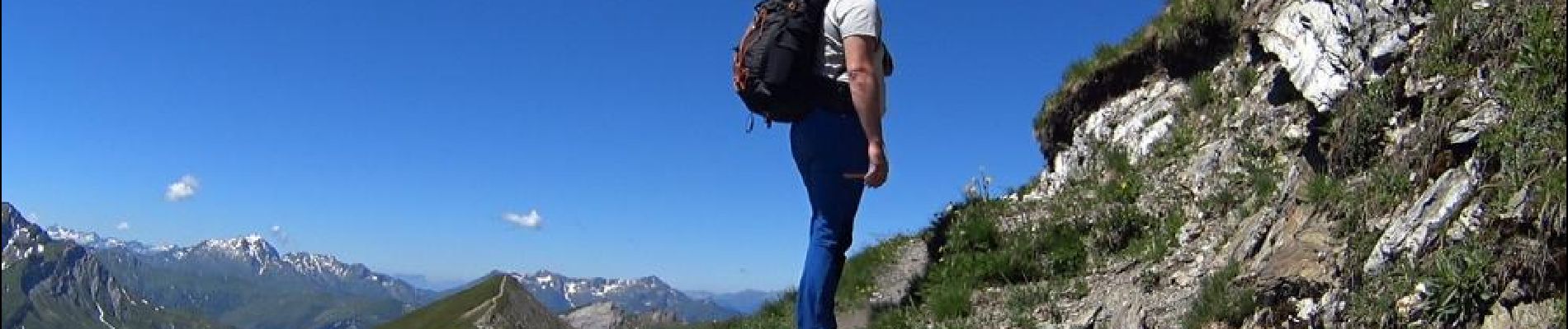
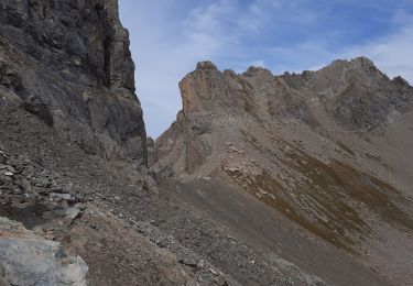
Randonnée du refuge du Plan de la Laie au refuge du col de la croix du Bonhomme par le col de la Sauce et la crête des Gittes - Départ: parking du plan de la laie


Senderismo

Esquí de fondo

Senderismo

Senderismo

Senderismo

Senderismo

Senderismo
Senderismo
Senderismo
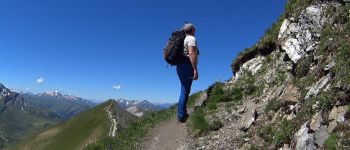
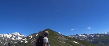
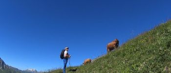
Superbe parcours ... des paysages grandioses avec les cimes enneigées, les torrents glaciers ! Que du bonheur dans cette montagne .