


10,1 km | 13,3 km-effort


Usuario


Aplicación GPS de excursión GRATIS
 SityTrail
IGN / Institutos geográficos
SityTrail World
El mundo es suyo
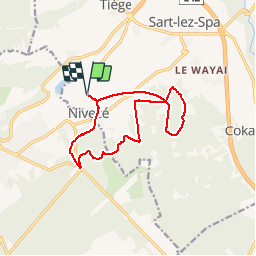
Ruta Senderismo de 11,5 km a descubrir en Valonia, Lieja, Jalhay. Esta ruta ha sido propuesta por la_jess_1983.
9km dans les bois et 2km de petite route de village ! à faire après 3 4 jour de beau temps sauf si la boue ne vous effrayé pas ;-)

Senderismo

Senderismo

Senderismo

Senderismo
Senderismo

Senderismo
Bicicleta

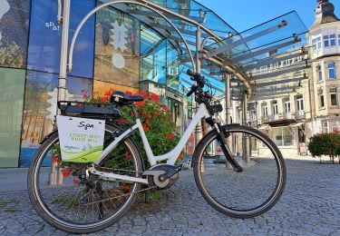
Bici eléctrica
Très belle balade dans les bois autour de Nivezee !