


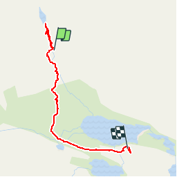


11,6 km | 19,6 km-effort

Usuario


Aplicación GPS de excursión GRATIS
 SityTrail
IGN / Institutos geográficos
SityTrail World
El mundo es suyo
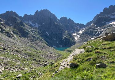
Ruta Senderismo de 3,1 km a descubrir en Provenza-Alpes-Costa Azul, Alpes Marítimos, Tende. Esta ruta ha sido propuesta por patsure.
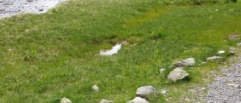
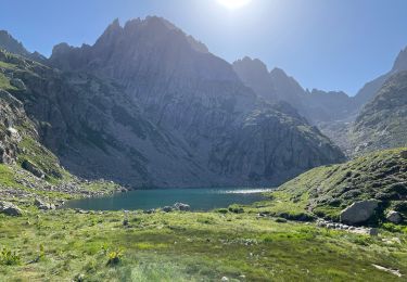
Depuis la fin de la rando avec guide monté au lac des Merveilles puis redescendre vers le refuge 11h-12h45


Senderismo

A pie

A pie

Senderismo

Senderismo

Senderismo

Senderismo
Senderismo
Senderismo