


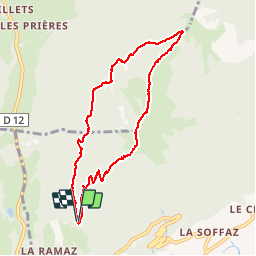

9,6 km | 18,3 km-effort

Usuario


Aplicación GPS de excursión GRATIS
 SityTrail
IGN / Institutos geográficos
SityTrail World
El mundo es suyo
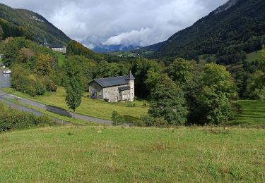
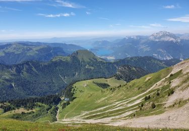
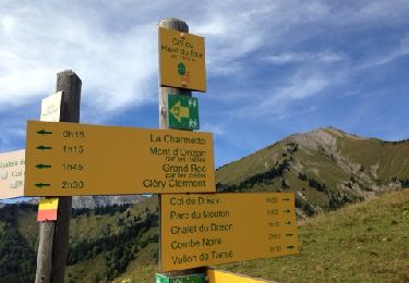
Ruta Senderismo de 8,6 km a descubrir en Auvergne-Rhône-Alpes, Saboya, Mercury. Esta ruta ha sido propuesta por patjobou.
Belle rando:
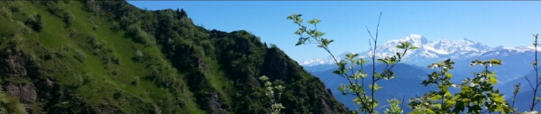
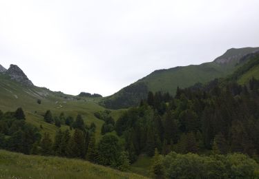
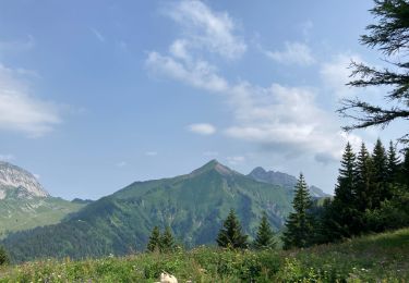
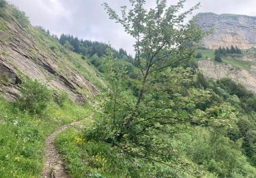
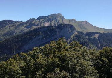
Montée en foret, belles vues sur le Mont Blanc; course de crête avec qq passages câblés faciles, descente à l'ombre.

Senderismo
Esquí de fondo

Motor
Senderismo
Senderismo
Senderismo
Senderismo
Senderismo
Senderismo