


18,1 km | 33 km-effort

Usuario


Aplicación GPS de excursión GRATIS
 SityTrail
IGN / Institutos geográficos
SityTrail World
El mundo es suyo
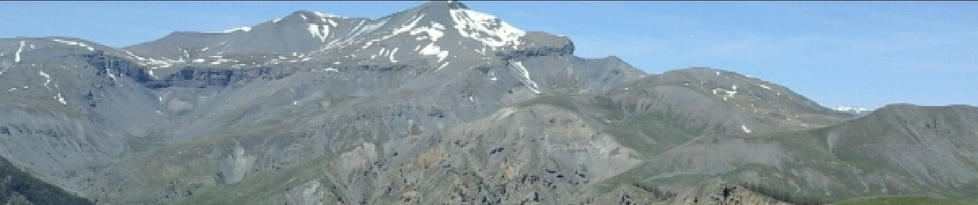
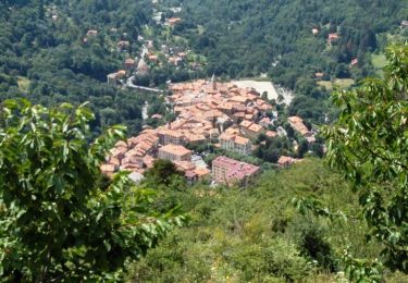
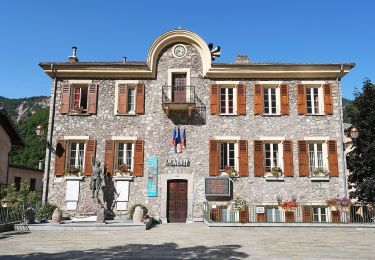
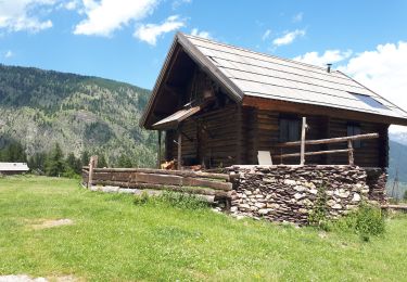
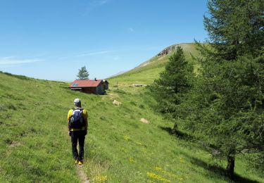
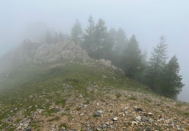
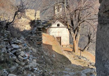
Ruta Senderismo de 11,5 km a descubrir en Provenza-Alpes-Costa Azul, Alpes Marítimos, Roure. Esta ruta ha sido propuesta por GrouGary.
Bon balisage vers Mt Autcellier puis chercher le meilleur passage pr descendre direct vers le refuge de Langon. GR 5 pr le retour vers Rougios

Senderismo
A pie

Senderismo

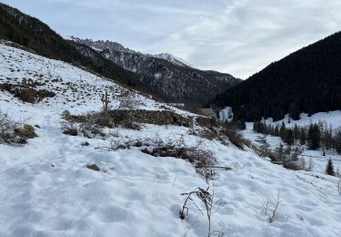
Raquetas de nieve
Senderismo
Senderismo
Senderismo
Senderismo
Senderismo