


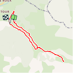

19,8 km | 46 km-effort

Usuario


Aplicación GPS de excursión GRATIS
 SityTrail
IGN / Institutos geográficos
SityTrail World
El mundo es suyo
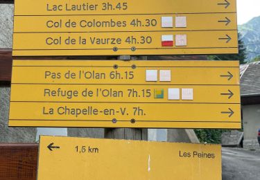
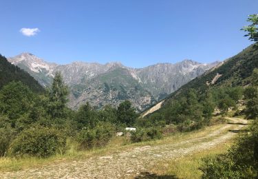
Ruta Senderismo de 8,9 km a descubrir en Provenza-Alpes-Costa Azul, Altos Alpes, Saint-Maurice-en-Valgodemard. Esta ruta ha sido propuesta por Dervalmarc.
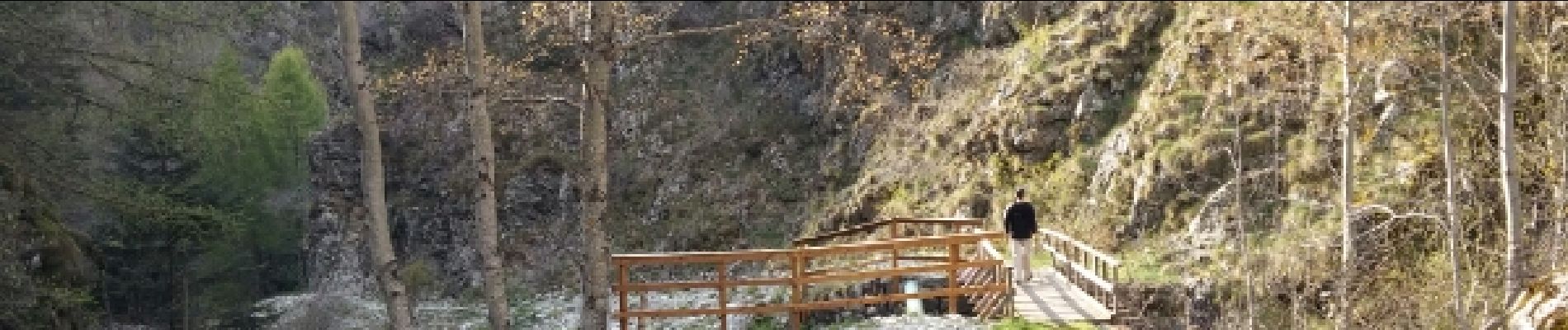
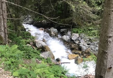
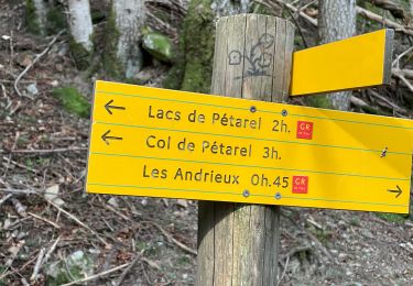
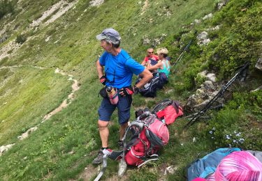
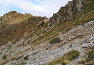
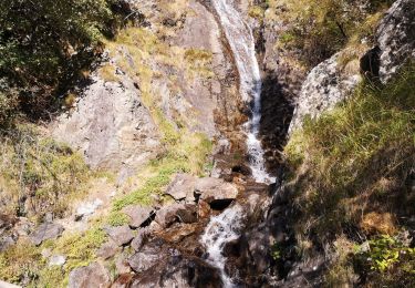
Agréable parcours couplant les chalets de Prenticq et la petite cabane du Sellar.Tout cela dans le cadre grandiose d'un vallon sauvage ou vous aurez la possibilité d'observer de nombreux chamois.


Senderismo

Senderismo
Senderismo
Senderismo
Senderismo
Senderismo
Senderismo
Senderismo
Senderismo