


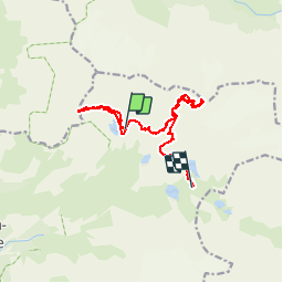

12,4 km | 26 km-effort


Usuario GUIDE


Aplicación GPS de excursión GRATIS
 SityTrail
IGN / Institutos geográficos
SityTrail World
El mundo es suyo
Ruta Otra actividad de 13,1 km a descubrir en Auvergne-Rhône-Alpes, Saboya, Pralognan-la-Vanoise. Esta ruta ha sido propuesta por nadd73.
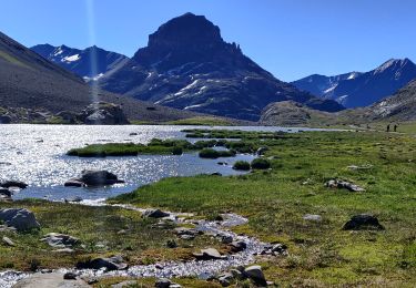
Du refuge du col de la Vanoise descendre jusqu'à la cabane des gardes passer au lac de la patinoire rive gauche et monter au col du Vallonnet.
Descente lac et traversée gauche pour arriver au bas du couloir de la Séchette. monter celui ci le glacier de la Glière Sud et le Col.
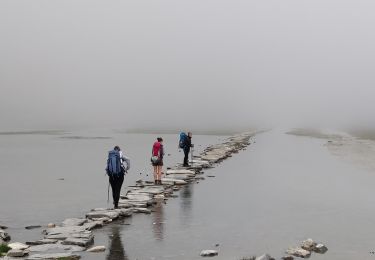
Descente idem sauf ne pas monter à la Séchette retour refuge
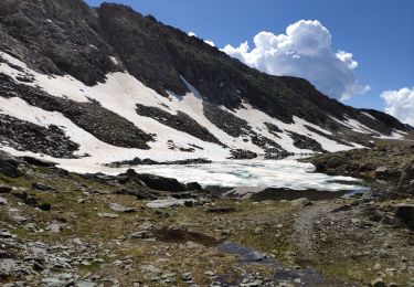
Senderismo

Senderismo

Senderismo

Senderismo
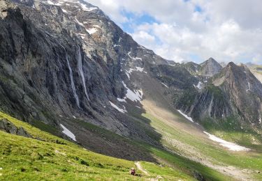
Senderismo
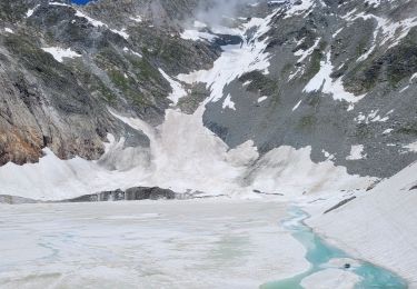
Senderismo

Senderismo
Senderismo
Senderismo