


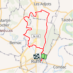


17,5 km | 19,6 km-effort

Usuario


Aplicación GPS de excursión GRATIS
 SityTrail
IGN / Institutos geográficos
SityTrail World
El mundo es suyo
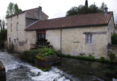
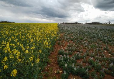
Ruta Senderismo de 17,3 km a descubrir en Nueva Aquitania, Charente, Ruffec. Esta ruta ha sido propuesta por neoroll44.
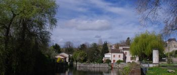
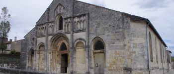
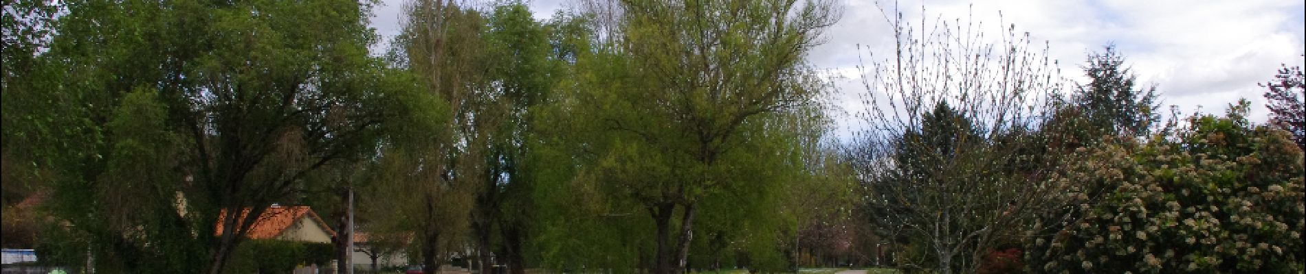
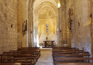
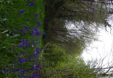
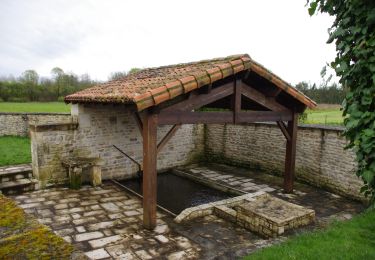
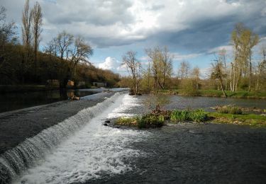
Circuit des logis (violet). Départ de l'église St-André, puis la forêt privée de Ruffec, le bois de vallons et les logis.


Bicicleta híbrida
Senderismo
Senderismo
Senderismo
Senderismo
Senderismo

Senderismo
Senderismo
Senderismo