


8,2 km | 9,5 km-effort


Usuario


Aplicación GPS de excursión GRATIS
 SityTrail
IGN / Institutos geográficos
SityTrail World
El mundo es suyo
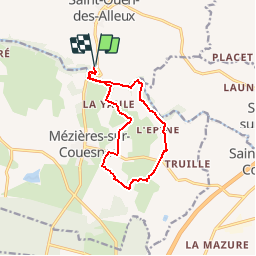
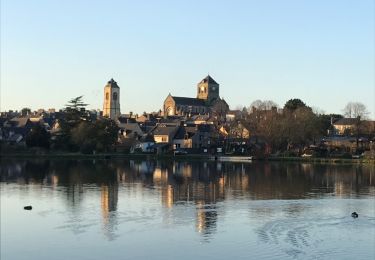
Ruta Senderismo de 10,7 km a descubrir en Bretaña, Ille-et-Vilaine, Saint-Ouen-des-Alleux. Esta ruta ha sido propuesta por neoroll44.
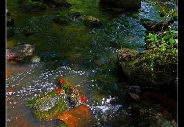
Depuis le parking du Conseil général à St-Ouen des Alleux (fléché depuis la RD 102), la vallée du Couesnon et la campagne de Mézieres.
A pie
A pie

Senderismo
Caballo
Senderismo
Senderismo
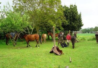
Caballo
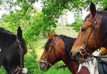
Caballo
Senderismo