


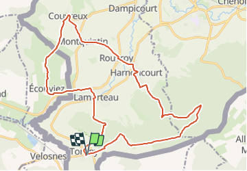


7,5 km | 11 km-effort

Randonnez sur et autour des GR ® wallons (Sentiers de Grande Randonnée). PRO


Aplicación GPS de excursión GRATIS
 SityTrail
IGN / Institutos geográficos
SityTrail World
El mundo es suyo
Ruta Senderismo de 21 km a descubrir en Valonia, Luxemburgo, Rouvroy. Esta ruta ha sido propuesta por GR Rando.
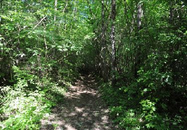
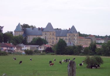
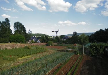
Cette randonnée vous permettra de cheminer dans une des plus belles régions de la province de Luxembourg, la plus méridionale de Belgique, très prisée pour son microclimat et riche de plusieurs vignobles. De nombreuses légendes émailleront votre progression.
Un bémol toutefois : de nombreux chemins campagnards ont été asphaltés ou bétonnés.
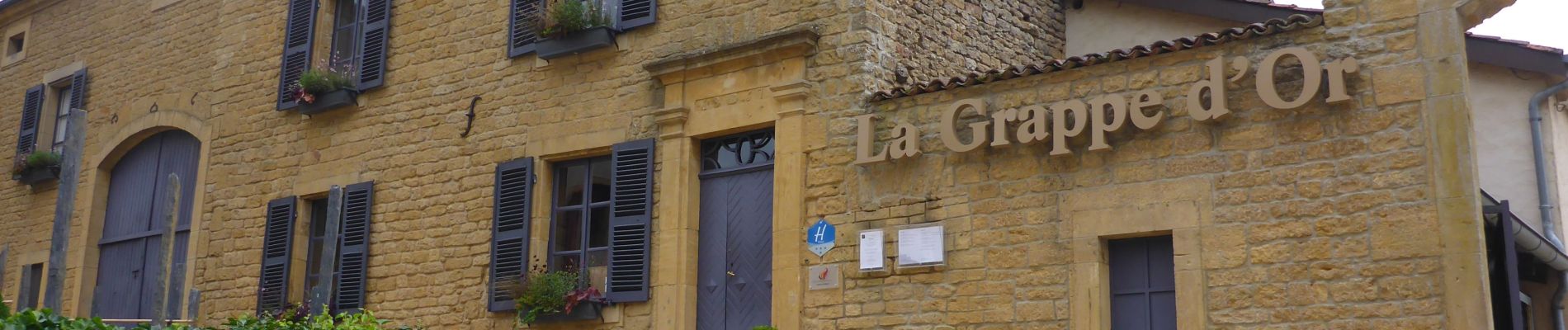
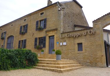
Point de départ : « Au pOirier du lOup » : rue de l’Ermitage, 18 – 6767 Torgny.
Accès :
[voiture] 49° 30' 26.4" N ; 5° 28' 31.3" E.
TEC arrêt Lavoir


Senderismo
A pie
A pie

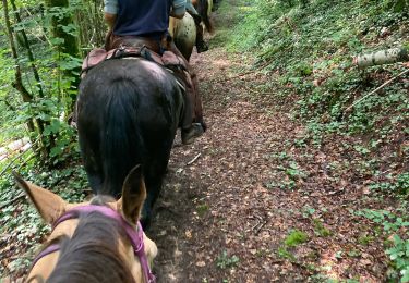
Paseo ecuestre
Senderismo

Bici de montaña
Senderismo
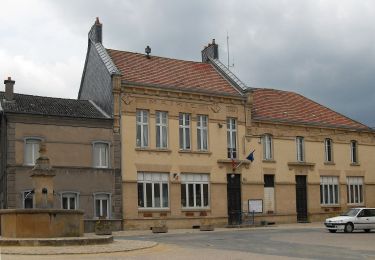
Beau paysage. Et le village de Torgny est magnifique. Mais environ 75% de la boucle passent par l'asphalte et le béton. Vaut mieux éviter cette boucle.