


21 km | 33 km-effort


Usuario


Aplicación GPS de excursión GRATIS
 SityTrail
IGN / Institutos geográficos
SityTrail World
El mundo es suyo
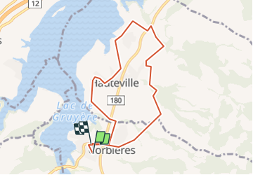
Ruta Senderismo de 7,8 km a descubrir en Friburgo, District de la Gruyère, Corbières. Esta ruta ha sido propuesta por rene.esseiva.
Bicubic - Corbières, parking près du terrain de foot. Via A12 = 24 km, 25 minutes, Prix voiture Fr. 4.00
Marcha nórdica

Senderismo

Bici de montaña
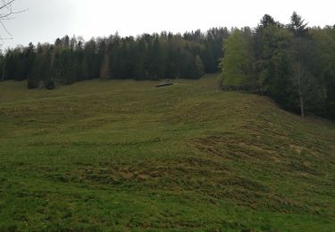
Senderismo

Otra actividad
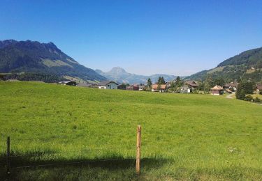
Senderismo
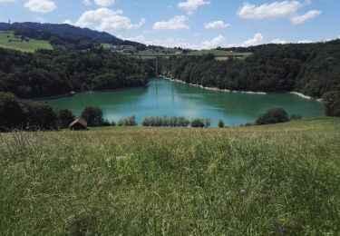
Senderismo
Senderismo
Senderismo