


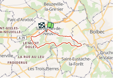

9,9 km | 12,3 km-effort


Usuario


Aplicación GPS de excursión GRATIS
 SityTrail
IGN / Institutos geográficos
SityTrail World
El mundo es suyo
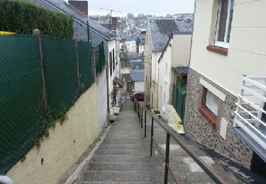
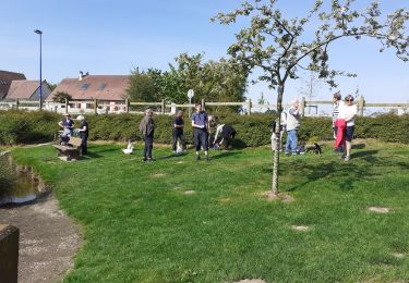
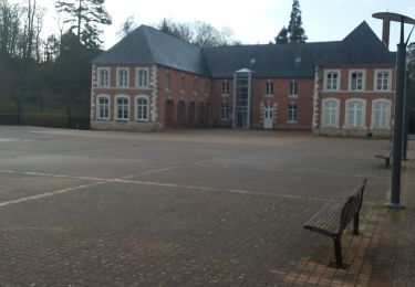
Ruta Senderismo de 10,4 km a descubrir en Normandía, Sena-Marítimo, Saint-Jean-de-la-Neuville. Esta ruta ha sido propuesta por Aclarando.
Départ du parking de la mairie de st Jean, à éviter après une période de pluie: chemins boueux
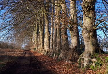
Senderismo

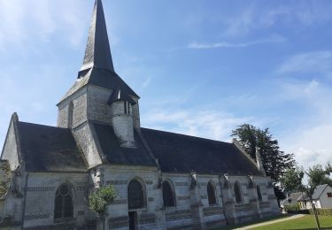
Senderismo
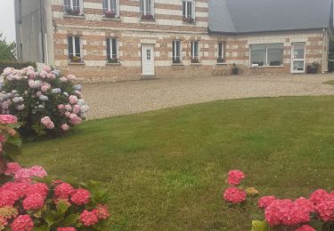
Senderismo
Senderismo
Senderismo
Senderismo
Senderismo
Senderismo
Senderismo