


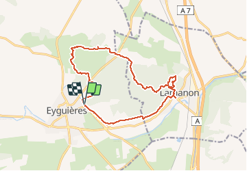

8,8 km | 11,4 km-effort


Usuario


Aplicación GPS de excursión GRATIS
 SityTrail
IGN / Institutos geográficos
SityTrail World
El mundo es suyo
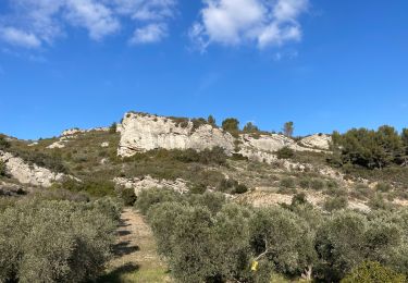
Ruta Senderismo de 16,1 km a descubrir en Provenza-Alpes-Costa Azul, Bocas del Ródano, Eyguières. Esta ruta ha sido propuesta por Lisa84.
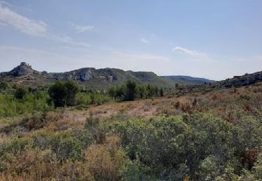
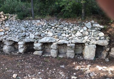
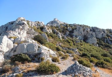
Départ d'Eguières vers Lamanon- Platane millénaire, grottes de Calès, Château de la Reine Jeanne, les Gillouses.
Senderismo

Senderismo

Senderismo
Senderismo
Senderismo

Senderismo
Senderismo
Senderismo

Senderismo