


15,1 km | 21 km-effort

Usuario


Aplicación GPS de excursión GRATIS
 SityTrail
IGN / Institutos geográficos
SityTrail World
El mundo es suyo
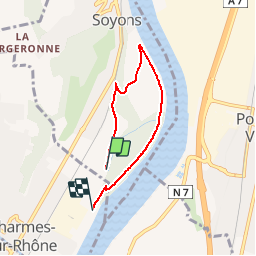
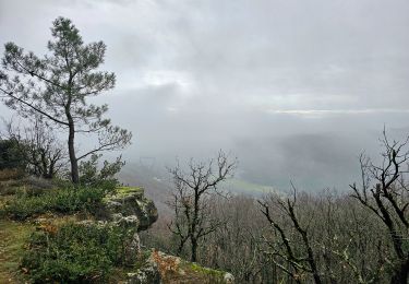
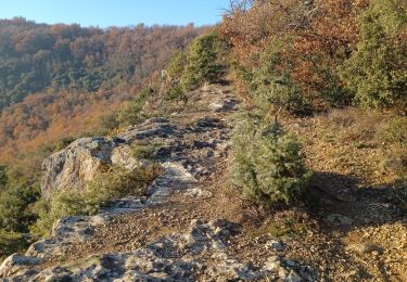
Ruta Senderismo de 4,9 km a descubrir en Auvergne-Rhône-Alpes, Ardecha, Soyons. Esta ruta ha sido propuesta por patchil.
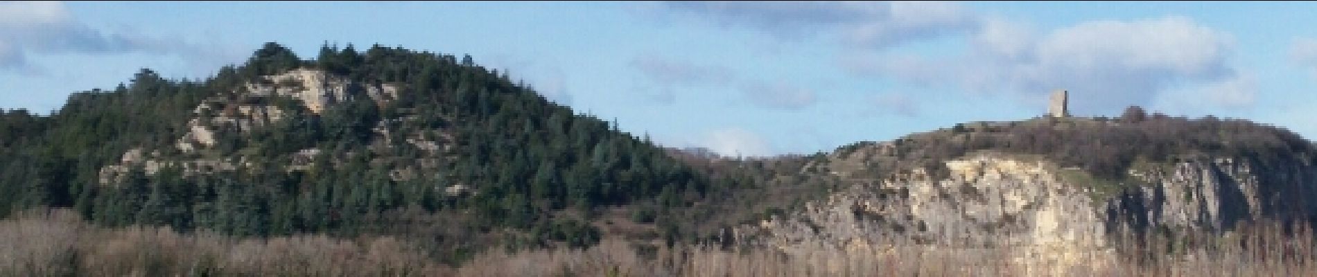
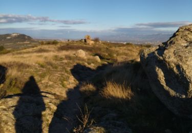
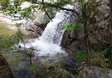
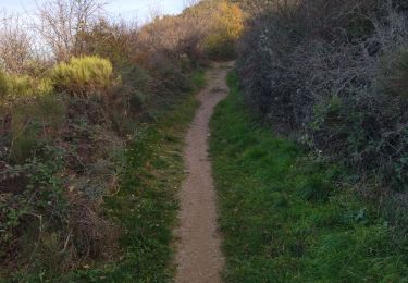
Petite marche de 6 kms /h au bord du Rhône à partir de Charmes sur Rhône en direction de Soyons. Une petite boucle qu'il est possible de rallonger suivant le programme. On passe le long d'une chemin très agréable sans voiture , avec un paysage agréable.


Senderismo
Senderismo
Senderismo
Senderismo
Senderismo
Senderismo
Senderismo
Senderismo
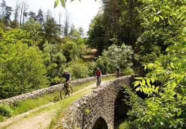
Bici de montaña