


9,1 km | 14 km-effort


Usuario


Aplicación GPS de excursión GRATIS
 SityTrail
IGN / Institutos geográficos
SityTrail World
El mundo es suyo
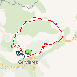
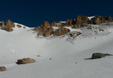
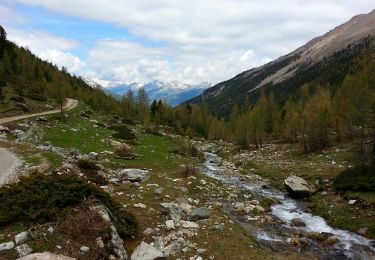
Ruta Raquetas de nieve de 7,5 km a descubrir en Provenza-Alpes-Costa Azul, Altos Alpes, Cervières. Esta ruta ha sido propuesta por ARPF.
Copié sur VISORANDO
Départ de la Chapelle Saint Michel (D).Monter à l'Alp du Pied (1) par un chemin bien marqué.Le sentier continue au Nord, passe par les ruines de Garnier (2).Continuer Nord-Est et atteindre la ruine de l'Alp Haut pour rejoindre alors l'ex piste militaire (3).Prendre alors à droite, pour découvrir sur la gauche la bergerie de Peyre Moute. Atteindre la bergerie en coupant droit dans la neige en hiver ou l'alpage en été. Le circuit se poursuit à l'Est.Traverser l'ex piste militaire, aller tout droit et rejoindre alors le sentier montant de Lachau (panneau).(4) Prendre ce sentier direction Sud Sud-Est, puis virer plein Sud (5) pour rejoindre le Mur des Aîttes et la route des Fonds de Cervières.(6) Tourner à droite et revenir au parking du point de départ.Points de passage :D/A : km 0 - alt. 1657m1 : km 1.05 - alt. 1878m - L'Alp du Pied2 : km 1.41 - alt. 1970m - Ruines du Garnier3 : km 2.32 - alt. 2162m - Intersection ex route militaire4 : km 3.71 - alt. 2143m - Intersection avec sentier de Lachau5 : km 4.56 - alt. 2019m - Intersection vers Mur des Aîttes6 : km 5.06 - alt. 1863m - Intersection avec route des Fonds de CervièresD/A : km 7.49 - alt. 1651m

Senderismo
Esquí de fondo
Senderismo
Esquí de fondo

Esquí de fondo

Senderismo
Otra actividad
Senderismo

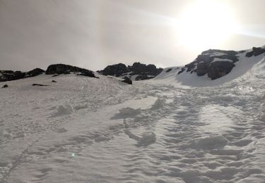
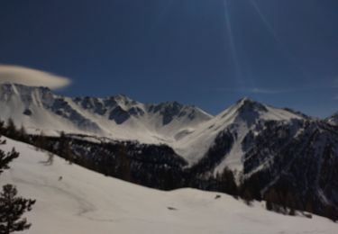
Raquetas de nieve