


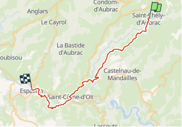

19 km | 28 km-effort


Usuario


Aplicación GPS de excursión GRATIS
 SityTrail
IGN / Institutos geográficos
SityTrail World
El mundo es suyo
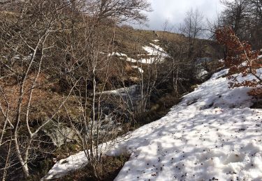
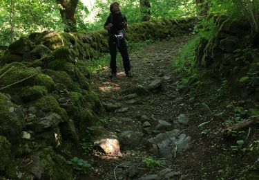
Ruta Senderismo de 26 km a descubrir en Occitania, Aveyron, Saint-Chély-d'Aubrac. Esta ruta ha sido propuesta por caro94.
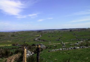
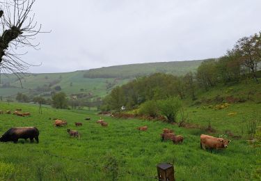
Randonnée de 26 km via le GR65, de l'Aubrac à la vallée du Lot, au coeur de la forêt. 8.40 pauses incluses
Senderismo
Senderismo
Senderismo
Senderismo
Senderismo
Senderismo
Senderismo
Senderismo
Senderismo