


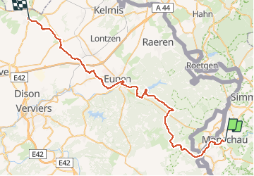

14,8 km | 18,2 km-effort

Plus vî, plus sot


Aplicación GPS de excursión GRATIS
 SityTrail
IGN / Institutos geográficos
SityTrail World
El mundo es suyo
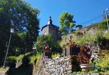
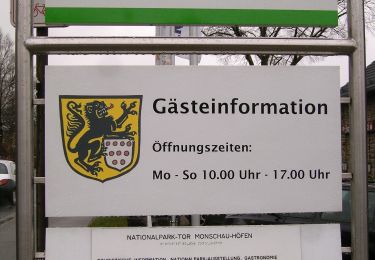
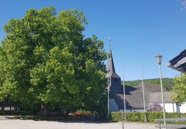
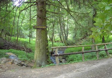
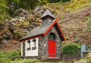
Ruta Bici de montaña de 53 km a descubrir en Renania del Norte-Westfalia, Städteregion Aachen, Monschau. Esta ruta ha sido propuesta por Yeyette VTT team.
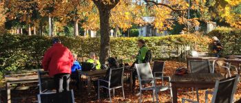
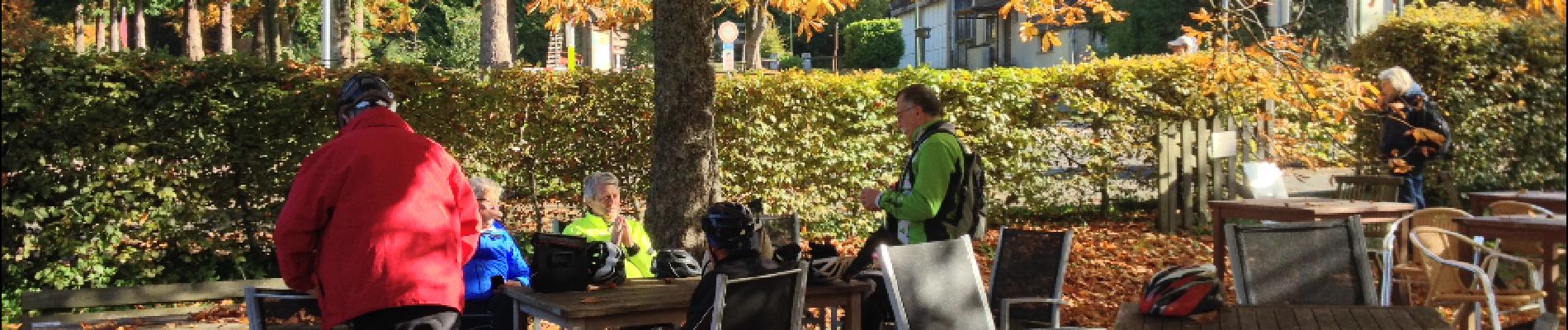
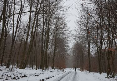
Une dernière journée resplendissante, légèrement assombrie par la perte de la cassette de Dany.


Senderismo
Senderismo
Senderismo
Senderismo
Senderismo
A pie
A pie
A pie
A pie