


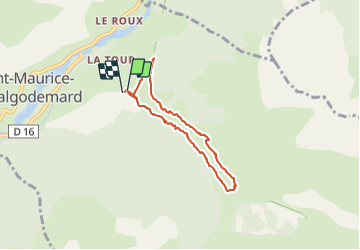

19,8 km | 46 km-effort

Usuario


Aplicación GPS de excursión GRATIS
 SityTrail
IGN / Institutos geográficos
SityTrail World
El mundo es suyo
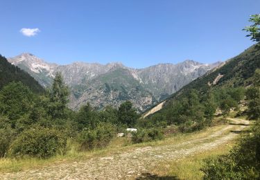
Ruta Senderismo de 6,5 km a descubrir en Provenza-Alpes-Costa Azul, Altos Alpes, Saint-Maurice-en-Valgodemard. Esta ruta ha sido propuesta por Dervalmarc.
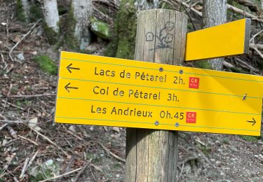
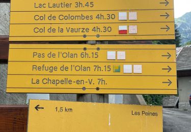
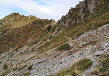
Attention versant ubac pour la descente passage en partie éboule sur le chemin du retour en plusieurs endroits.


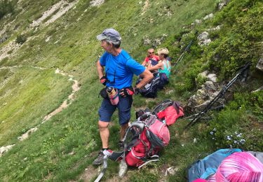
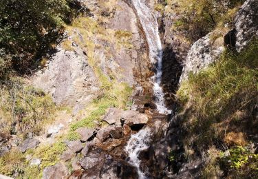
Senderismo

Senderismo
Senderismo
Senderismo
Senderismo
Senderismo
Senderismo
Senderismo
Senderismo