![](/images/other/stat-length.png)
![Excursión Senderismo Bourg-Saint-Maurice - TMB day 3 - Photo](https://media.geolcdn.com/t/1900/400/ext.pjpeg?maxdim=2&url=https%3A%2F%2Fservices.sitytrail.com%2FGeolivesWS%2FDownloadMedia.ashx%3FTrailID%3D477616%26Media%3Dfix__20150923153828.jpg)
TMB day 3
elixpomatia
Usuario
![Longitud](/images/other/stat-length.png)
Longitud
16,6 km
![Altitud máxima](https://static1.geolcdn.com/siteimages/upload/files/1508320355ic_sort_altitude_max_24dp.png)
Altitud máxima
2513 m
![Desnivel positivo](https://static1.geolcdn.com/siteimages/upload/files/1508320355ic_sort_den_pos_24dp.png)
Desnivel positivo
823 m
![Km-Effort](/images/other/stat-length.png)
Km-Effort
28 km
![Altitud mínima](https://static1.geolcdn.com/siteimages/upload/files/1508320355ic_sort_altitude_min_24dp.png)
Altitud mínima
1728 m
![Desnivel negativo](https://static1.geolcdn.com/siteimages/upload/files/1508320355ic_sort_den_neg_24dp.png)
Desnivel negativo
885 m
![Boucle](https://static1.geolcdn.com/siteimages/upload/files/16400158638029165_repeat_loop_refresh_sync_direction_icon.png)
Boucle
No
Fecha de creación :
2015-10-11 00:00:00.0
Última modificación :
2015-10-11 00:00:00.0
![Senderismo](https://static1.geolcdn.com/sitytour/trail-icons/101.png)
5h41
Dificultad : Medio
![Escanee este código QR para abrir la excursión en la aplicación SityTrail](https://capi.geolives.com/qq0zvz2zws4bq2lad0pu/sitytour/trails/477616/qr.png?size=200)
Aplicación GPS de excursión GRATIS
A propósito
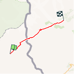
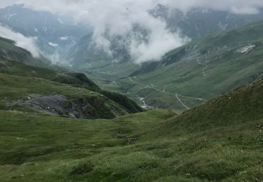
Ruta Senderismo de 16,6 km a descubrir en Auvergne-Rhône-Alpes, Saboya, Bourg-Saint-Maurice. Esta ruta ha sido propuesta por elixpomatia.
Descripción
La ville des Glaciers -> Courmayeur
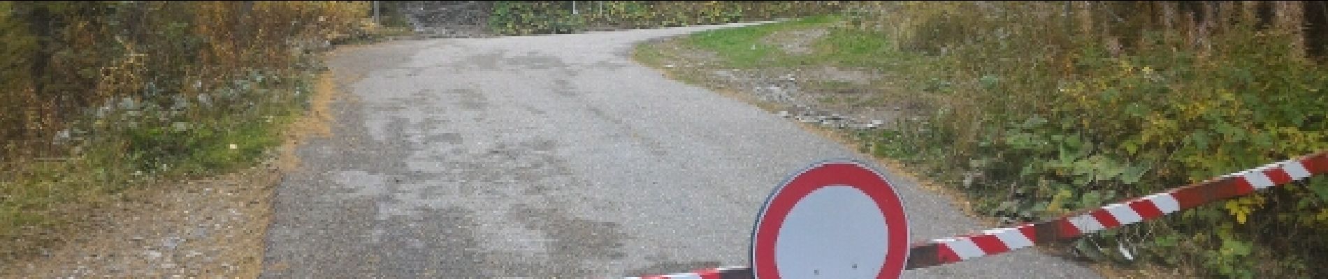
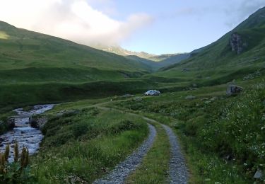
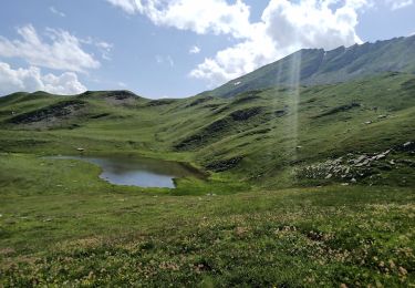
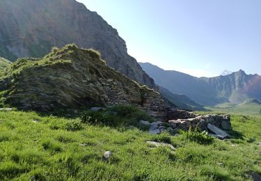
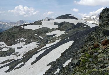
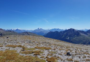
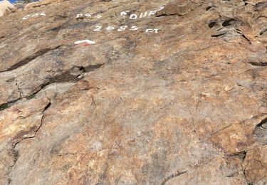
Localización
País:
France
Región :
Auvergne-Rhône-Alpes
Departamento/provincia :
Saboya
Municipio :
Bourg-Saint-Maurice
Localidad:
Unknown
Salida:(Dec)
Salida:(UTM)
326245 ; 5066188 (32T) N.
Comentarios
Excursiones cerca
![Excursión Senderismo Bourg-Saint-Maurice - suuntoapp-Hiking-2024-09-10T06-18-18Z - Photo](https://media.geolcdn.com/t/375/260/2ffa221c-2b68-468e-ba02-fb43d145165a.jpg&format=jpg&maxdim=2)
![Senderismo Senderismo](https://static1.geolcdn.com/sitytour/trail-icons/101.png)
suuntoapp-Hiking-2024-09-10T06-18-18Z
Senderismo
Muy difícil
Bourg-Saint-Maurice,
Auvergne-Rhône-Alpes,
Saboya,
France
![](/images/other/stat-length.png)
16,7 km | 28 km-effort
6h 27min
![](https://static1.geolcdn.com/siteimages/upload/files/16400158638029165_repeat_loop_refresh_sync_direction_icon.png)
No
![Excursión Senderismo Bourg-Saint-Maurice - col des Rousses - Photo](https://media.geolcdn.com/t/375/260/af69e770-c920-434a-a244-b14f3d62edb0.jpg&format=jpg&maxdim=2)
![Senderismo Senderismo](https://static1.geolcdn.com/sitytour/trail-icons/101.png)
col des Rousses
Senderismo
Medio
Bourg-Saint-Maurice,
Auvergne-Rhône-Alpes,
Saboya,
France
![](/images/other/stat-length.png)
10,5 km | 22 km-effort
4h 37min
![](https://static1.geolcdn.com/siteimages/upload/files/16400158638029165_repeat_loop_refresh_sync_direction_icon.png)
Sí
![Excursión Senderismo Bourg-Saint-Maurice - col des Ouillons, pointe 2695 et les grandes aiguilles - Photo](https://media.geolcdn.com/t/375/260/c558e85b-222b-48ae-b68f-d58c96ead386.jpg&format=jpg&maxdim=2)
![Senderismo Senderismo](https://static1.geolcdn.com/sitytour/trail-icons/101.png)
col des Ouillons, pointe 2695 et les grandes aiguilles
Senderismo
Difícil
Bourg-Saint-Maurice,
Auvergne-Rhône-Alpes,
Saboya,
France
![](/images/other/stat-length.png)
14,6 km | 30 km-effort
5h 13min
![](https://static1.geolcdn.com/siteimages/upload/files/16400158638029165_repeat_loop_refresh_sync_direction_icon.png)
Sí
![Excursión Senderismo Bourg-Saint-Maurice - col du Breuil et tentative de la pointe de l'Ouillon - Photo](https://media.geolcdn.com/t/375/260/aadc0a03-d638-48fc-8b46-3fd365012c7b.jpg&format=jpg&maxdim=2)
![Senderismo Senderismo](https://static1.geolcdn.com/sitytour/trail-icons/101.png)
col du Breuil et tentative de la pointe de l'Ouillon
Senderismo
Difícil
Bourg-Saint-Maurice,
Auvergne-Rhône-Alpes,
Saboya,
France
![](/images/other/stat-length.png)
10,3 km | 23 km-effort
4h 10min
![](https://static1.geolcdn.com/siteimages/upload/files/16400158638029165_repeat_loop_refresh_sync_direction_icon.png)
Sí
![Excursión Senderismo Bourg-Saint-Maurice - Le Miravidi et presque l'aiguille de Veis - Photo](https://media.geolcdn.com/t/375/260/492b54a4-3f98-46f8-a6c7-a59e4c43b79b.jpg&format=jpg&maxdim=2)
![Senderismo Senderismo](https://static1.geolcdn.com/sitytour/trail-icons/101.png)
Le Miravidi et presque l'aiguille de Veis
Senderismo
Medio
Bourg-Saint-Maurice,
Auvergne-Rhône-Alpes,
Saboya,
France
![](/images/other/stat-length.png)
12,4 km | 26 km-effort
6h 23min
![](https://static1.geolcdn.com/siteimages/upload/files/16400158638029165_repeat_loop_refresh_sync_direction_icon.png)
No
![Excursión Esquí de fondo Bourg-Saint-Maurice - autour du lac de Mya - Photo](https://media.geolcdn.com/t/375/260/4ac04904-2253-423b-b6ac-3f3b6564cfe2.jpg&format=jpg&maxdim=2)
![Esquí de fondo Esquí de fondo](https://static1.geolcdn.com/sitytour/trail-icons/503.png)
autour du lac de Mya
Esquí de fondo
Fácil
Bourg-Saint-Maurice,
Auvergne-Rhône-Alpes,
Saboya,
France
![](/images/other/stat-length.png)
10,1 km | 25 km-effort
4h 42min
![](https://static1.geolcdn.com/siteimages/upload/files/16400158638029165_repeat_loop_refresh_sync_direction_icon.png)
No
![Excursión Senderismo Bourg-Saint-Maurice - le lac de Mya, le col des Fours et la tête sud des Fours - Photo](https://media.geolcdn.com/t/375/260/24e734a8-cdba-440c-a390-09e59e7aa7ec.jpg&format=jpg&maxdim=2)
![Senderismo Senderismo](https://static1.geolcdn.com/sitytour/trail-icons/101.png)
le lac de Mya, le col des Fours et la tête sud des Fours
Senderismo
Difícil
Bourg-Saint-Maurice,
Auvergne-Rhône-Alpes,
Saboya,
France
![](/images/other/stat-length.png)
12,3 km | 26 km-effort
6h 20min
![](https://static1.geolcdn.com/siteimages/upload/files/16400158638029165_repeat_loop_refresh_sync_direction_icon.png)
Sí
![Excursión Senderismo Bourg-Saint-Maurice - Les chapieux-col des four - Photo](https://media.geolcdn.com/t/375/260/95a94c92-2d9f-4b93-87c7-1335119f6081.jpeg&format=jpg&maxdim=2)
![Senderismo Senderismo](https://static1.geolcdn.com/sitytour/trail-icons/101.png)
Les chapieux-col des four
Senderismo
Difícil
Bourg-Saint-Maurice,
Auvergne-Rhône-Alpes,
Saboya,
France
![](/images/other/stat-length.png)
16,4 km | 32 km-effort
3h 41min
![](https://static1.geolcdn.com/siteimages/upload/files/16400158638029165_repeat_loop_refresh_sync_direction_icon.png)
Sí
![Excursión Senderismo Bourg-Saint-Maurice - Le refuge de La Croix du bonhomme Elisabetta soldoni - Photo](https://media.geolcdn.com/t/375/260/178659b1-34e1-4857-a5f1-0282bf0768cc.jpg&format=jpg&maxdim=2)
![Senderismo Senderismo](https://static1.geolcdn.com/sitytour/trail-icons/101.png)
Le refuge de La Croix du bonhomme Elisabetta soldoni
Senderismo
Muy difícil
Bourg-Saint-Maurice,
Auvergne-Rhône-Alpes,
Saboya,
France
![](/images/other/stat-length.png)
17,2 km | 32 km-effort
8h 6min
![](https://static1.geolcdn.com/siteimages/upload/files/16400158638029165_repeat_loop_refresh_sync_direction_icon.png)
No