


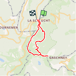

14,4 km | 22 km-effort

Usuario


Aplicación GPS de excursión GRATIS
 SityTrail
IGN / Institutos geográficos
SityTrail World
El mundo es suyo
Ruta Senderismo de 11,7 km a descubrir en Gran Este, Alto Rin, Stosswihr. Esta ruta ha sido propuesta por mitch1915.
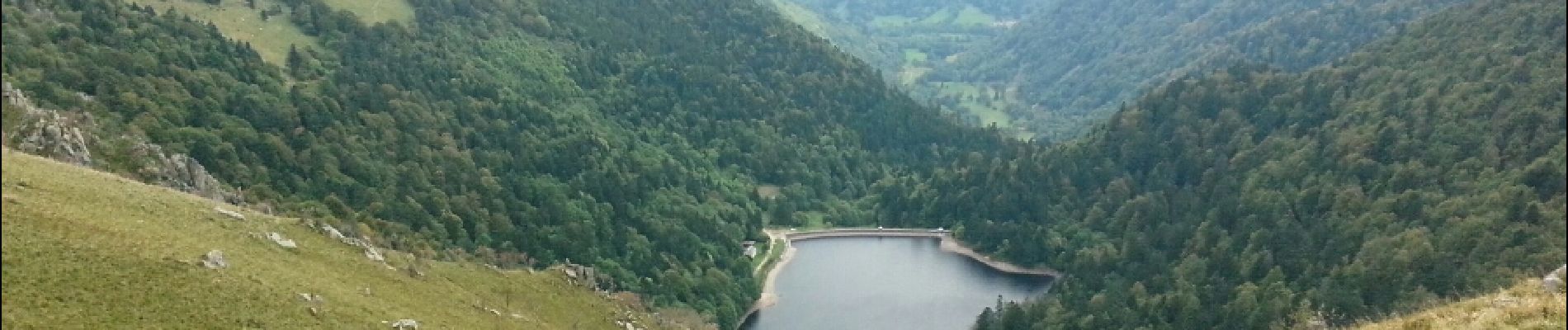
un peu plus de dix km avec pentes escarpées dans les rochers, magnifique vue du haut des alpages, pour finir en pente douce en forêt...


Senderismo

Senderismo

Senderismo

Senderismo

Otra actividad

Senderismo

Senderismo

Senderismo

Senderismo