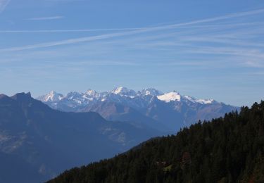
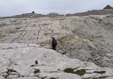
15 km | 24 km-effort
Derborence-Prarochet
lroux
Usuario
Longitud
8 km
Altitud máxima
2550 m
Desnivel positivo
1089 m
Km-Effort
19,2 km
Altitud mínima
1556 m
Desnivel negativo
98 m
Boucle
No
Fecha de creación :
2014-12-10 00:00:00.0
Última modificación :
2014-12-10 00:00:00.0
4h41
Dificultad : Desconocido
Aplicación GPS de excursión GRATIS
A propósito
Ruta Otra actividad de 8 km a descubrir en Vallés, Conthey, Conthey. Esta ruta ha sido propuesta por lroux.
Localización
País:
Switzerland
Región :
Vallés
Departamento/provincia :
Conthey
Municipio :
Conthey
Localidad:
Unknown
Salida:(Dec)
Salida:(UTM)
364539 ; 5127225 (32T) N.
Comentarios
Excursiones cerca
suuntoapp-Hiking-2024-07-15T05-56-36Z
Senderismo
Medio
Savièse,
Vallés,
Sion,
Switzerland
5h 33min
No
Bisse de la Tsandra
A pie
Fácil
Conthey,
Vallés,
Conthey,
Switzerland
7,4 km | 10,5 km-effort
2h 23min
No
25.08.20 Sanetsch
Marcha nórdica
Muy fácil
Savièse,
Vallés,
Sion,
Switzerland
13,3 km | 20 km-effort
5h 32min
No
st_koreatv08_07
Senderismo
Muy fácil
Savièse,
Vallés,
Sion,
Switzerland
4,5 km | 8,9 km-effort
1h 37min
No
huetten_02
Senderismo
Muy fácil
Conthey,
Vallés,
Conthey,
Switzerland
50 km | 102 km-effort
16h 52min
Sí
w10_24_diable
Senderismo
Muy fácil
Ormont-Dessus,
Valdia,
District d'Aigle,
Switzerland
12,9 km | 17,3 km-effort
3h 38min
No
Trajet du 29.10.21
Senderismo
Muy difícil
Conthey,
Vallés,
Conthey,
Switzerland
19,5 km | 38 km-effort
8h 42min
Sí
Martigny-Kandersteg (4) Cabane des Audannes
Senderismo
Muy fácil
Savièse,
Vallés,
Sion,
Switzerland
11,2 km | 23 km-effort
5h 40min
No