


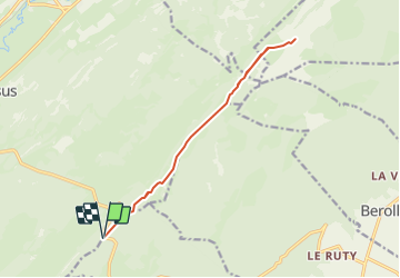

10,7 km | 15,5 km-effort


Usuario


Aplicación GPS de excursión GRATIS
 SityTrail
IGN / Institutos geográficos
SityTrail World
El mundo es suyo
Ruta Senderismo de 13,7 km a descubrir en Valdia, District de Morges, Gimel. Esta ruta ha sido propuesta por yveshumbert.
Randonnée de 3 jours au départ du Grütli et arrivée à Brunnen. Etape # 1 Grütli à Isleten.
Parquer sa voiture au parking du restaurant du Marchairuz. Le chemin jusqu' au Mt-Tendre est facile. De là vous aurez une jolie vue sur le lac Léman. Le retour se fait par le même itinéraire.

Raquetas de nieve
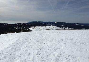
Raquetas de nieve
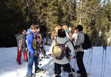
Raquetas de nieve

Senderismo
Senderismo
Senderismo
Senderismo
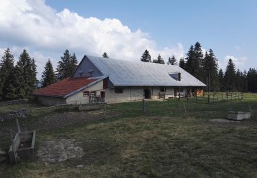
Senderismo

Otra actividad