

Stevenson 01 La Bastide - Mirandol

motardes04
Usuario

Longitud
15,2 km

Altitud máxima
1313 m

Desnivel positivo
415 m

Km-Effort
20 km

Altitud mínima
1024 m

Desnivel negativo
341 m
Boucle
No
Fecha de creación :
2015-08-21 00:00:00.0
Última modificación :
2015-08-21 00:00:00.0
4h43
Dificultad : Muy fácil

Aplicación GPS de excursión GRATIS
A propósito
Ruta Senderismo de 15,2 km a descubrir en Occitania, Lozère, La Bastide-Puylaurent. Esta ruta ha sido propuesta por motardes04.
Descripción
Première étape avec Marie, temps de marche 4h43
Calcul Sity trail : 4h25
Calcul Topo : 12 km - 3h jusqu'à Chasseradès.
Localización
País:
France
Región :
Occitania
Departamento/provincia :
Lozère
Municipio :
La Bastide-Puylaurent
Localidad:
Unknown
Salida:(Dec)
Salida:(UTM)
571806 ; 4938189 (31T) N.
Comentarios
Excursiones cerca

la bastide saint Laurent _ Le Bleymard


Senderismo
Difícil
(1)
La Bastide-Puylaurent,
Occitania,
Lozère,
France

33 km | 46 km-effort
6h 59min
No
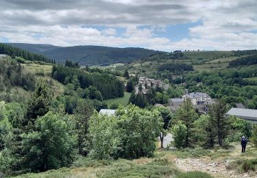
Stevenson étape 7


Senderismo
Difícil
Mont Lozère et Goulet,
Occitania,
Lozère,
France

20 km | 28 km-effort
4h 57min
No
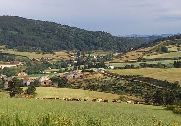
chemin de Stevenson étape 6


Senderismo
Difícil
Laveyrune,
Auvergne-Rhône-Alpes,
Ardecha,
France

25 km | 34 km-effort
6h 50min
No
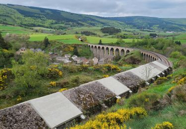
Stevenson Chasseradès - Le Bleymard


Senderismo
Muy difícil
Mont Lozère et Goulet,
Occitania,
Lozère,
France

21 km | 29 km-effort
5h 4min
No
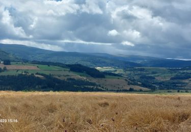
Etape 5 Bastide Puy Laurent/ le Bleymard


Senderismo
Difícil
La Bastide-Puylaurent,
Occitania,
Lozère,
France

30 km | 42 km-effort
7h 18min
No
Laval d'aurelle Ubac


Senderismo
Medio
Saint-Laurent-les-Bains-Laval-d'Aurelle,
Auvergne-Rhône-Alpes,
Ardecha,
France

7,6 km | 12,1 km-effort
2h 27min
Sí
Chasséradès


Senderismo
Difícil
(1)
La Bastide-Puylaurent,
Occitania,
Lozère,
France

12 km | 16,8 km-effort
8h 54min
No
Chasserades Bleymard


Senderismo
Difícil
Mont Lozère et Goulet,
Occitania,
Lozère,
France

20 km | 28 km-effort
6h 57min
No
de la bastide puylaurent à villefort gr700


Senderismo
Muy difícil
La Bastide-Puylaurent,
Occitania,
Lozère,
France

25 km | 33 km-effort
7h 20min
No


 SityTrail


