


5,3 km | 10,6 km-effort


Usuario


Aplicación GPS de excursión GRATIS
 SityTrail
IGN / Institutos geográficos
SityTrail World
El mundo es suyo
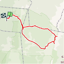
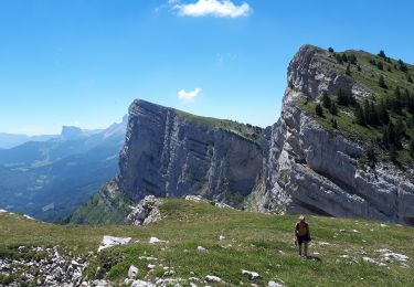
Ruta Senderismo de 19,2 km a descubrir en Auvergne-Rhône-Alpes, Drôme, La Chapelle-en-Vercors. Esta ruta ha sido propuesta por ageo.
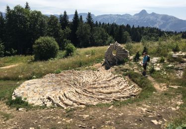
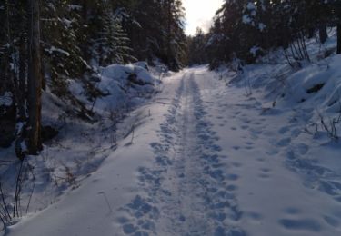
Très belle rando. Nécessite de maîtriser l'orientation en terrain non balisé. Passage dans le Purgatoire (lapiaz) rédhibitoire pour certains.

Senderismo

Senderismo

sport
Senderismo
Senderismo
Senderismo
Senderismo

Raquetas de nieve
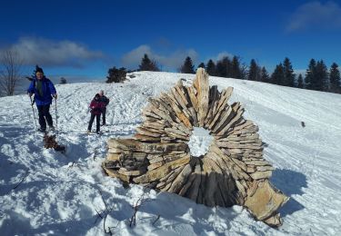
Raquetas de nieve